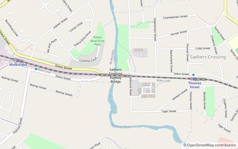
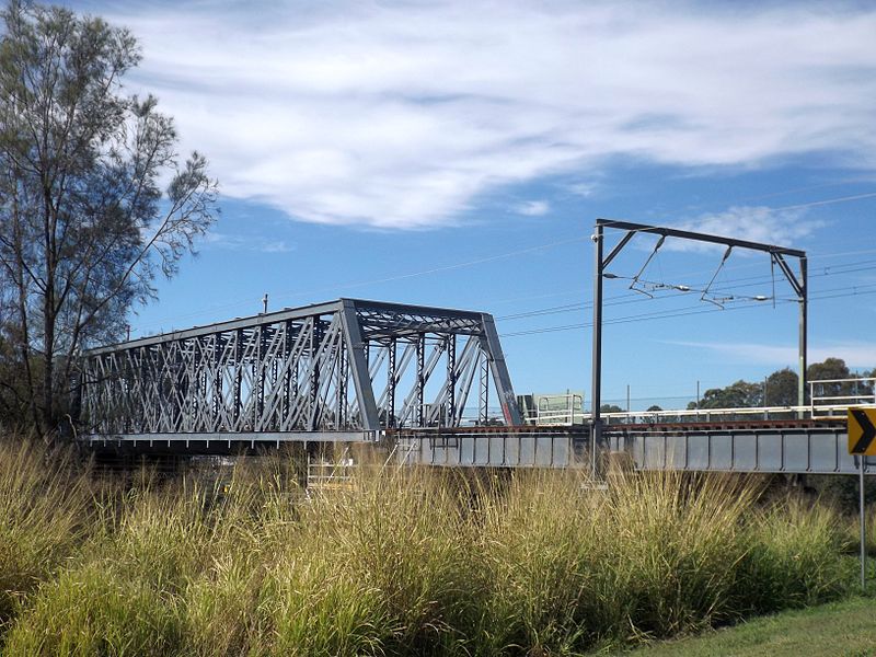
Sadliers Crossing Railway Bridge, Ipswich

Gallery (2)
Map
Map
Gallery
Facts and practical information
Sadliers Crossing Railway Bridge is a heritage-listed railway bridge at over Bremer River between Tallon Street, Sadliers Crossing and Dixon Street, Wulkuraka, Queensland, Australia on the Main Line (this section is now the Ipswich and Rosewood railway line. It was added to the Queensland Heritage Register on 13 November 2008. ()
Coordinates: 27°36'52"S, 152°44'24"E
Address
Sadliers CrossingIpswich
ContactAdd
Social media
Add
Getting there by public transportation
Public transportation stops near this location
- Bus
- Train
 Bus
Bus
- Calculate routeThomas Street 9 min walk
- Calculate routeWulkuraka 12 min walk
- Calculate routeAvon Street near Gilmore Street 11 min walk
- Calculate routeGilmore Street near Watsonia Drive 15 min walk
- Calculate routeFlinders Drive near Wills Street 16 min walk
Day trips
Sadliers Crossing Railway Bridge – popular in the area (distance from the attraction)
Nearby attractions include: Riverlink Shopping Centre, Sandy Gallop Golf Course and Function Centre, St. Mary's Church, The Workshops Rail Museum.


Frequently Asked Questions (FAQ)
How to get to Sadliers Crossing Railway Bridge by public transport?
The nearest stations to Sadliers Crossing Railway Bridge:
Train
Bus
Train
- Thomas Street (9 min walk)
- Wulkuraka (12 min walk)
Bus
- Avon Street near Gilmore Street • Lines: 506 (11 min walk)
- Gilmore Street near Watsonia Drive • Lines: 506 (15 min walk)