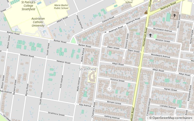
Strathfield Gardens, Sydney
Map

Map

Facts and practical information
Strathfield Gardens in Strathfield, New South Wales, Australia, was previously called Fairholm. It is a building of historical significance and is listed in the NSW Heritage Register. It was built in the 1870s, and external additions were made to it in 1890 and 1925. It is the oldest surviving house in Strathfield. The property was for many years a private residence. It is now a retirement village. ()
Coordinates: 33°52'43"S, 151°4'55"E
Address
Inner West (Strathfield)Sydney
ContactAdd
Social media
Add
Day trips
Strathfield Gardens – popular in the area (distance from the attraction)
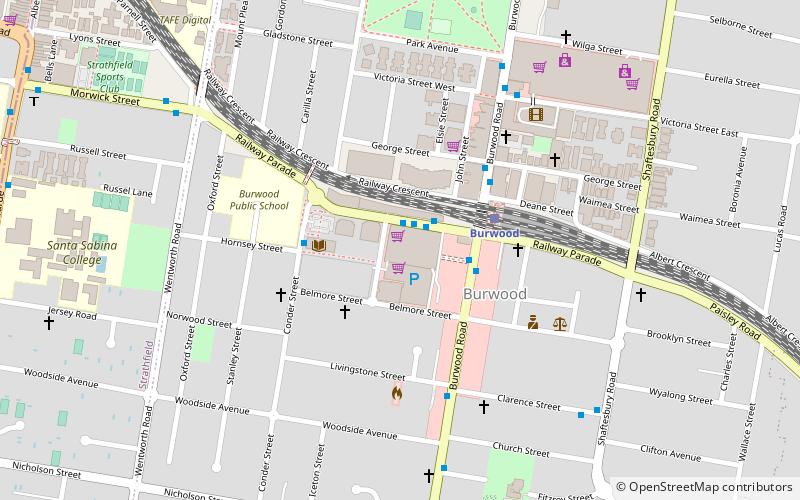
Nearby attractions include: Strathfield massacre, Sydney Markets, Burwood Plaza, Trinity Uniting Church.
Frequently Asked Questions (FAQ)
Which popular attractions are close to Strathfield Gardens?
Nearby attractions include Brunyarra, Strathfield (17 min walk), Lauriston, Strathfield (18 min walk), Trinity Uniting Church, Strathfield (19 min walk), Strathfield rail underbridges, Strathfield (22 min walk).
How to get to Strathfield Gardens by public transport?
The nearest stations to Strathfield Gardens:
Bus
Train
Bus
- Woodward Avenue • Lines: 466, M90 (17 min walk)
- Highgate Street • Lines: 466, M90 (19 min walk)
Train
- Strathfield (22 min walk)
- Homebush (22 min walk)

 Sydney Trains
 Sydney Light Rail
 Sydney Ferries


