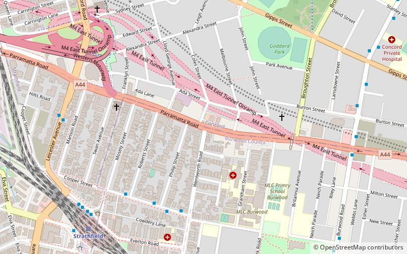
Parramatta Road, Sydney

Gallery (1)
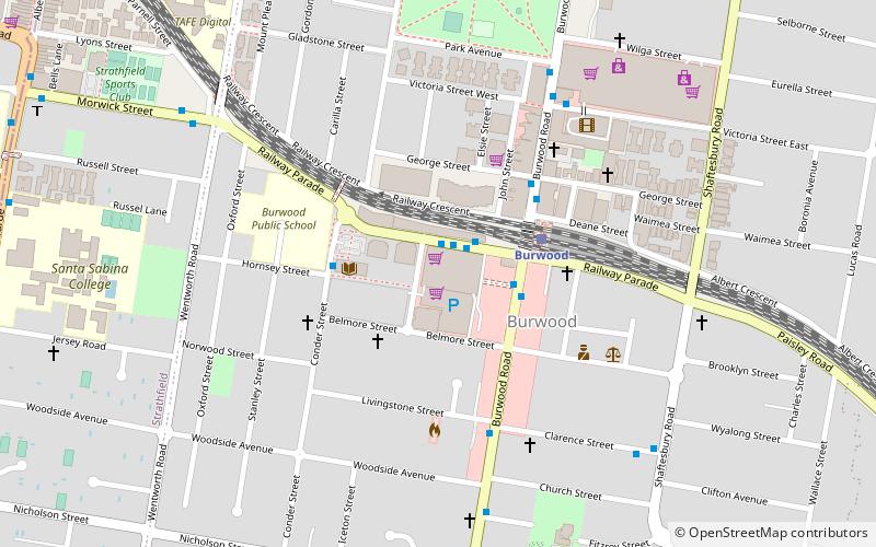
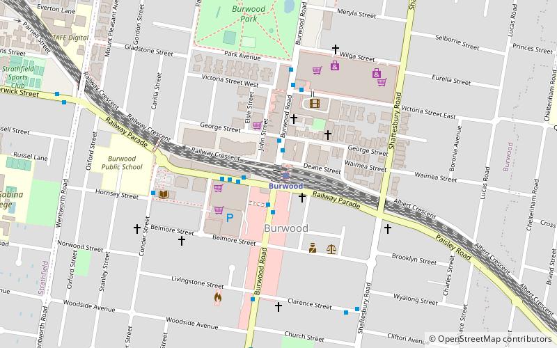
Map
Map
Facts and practical information
Coordinates: 33°52'5"S, 151°5'57"E
Address
Inner West (Strathfield)Sydney
ContactAdd
Social media
Add
Getting there by public transportation
Public transportation stops near this location
- Bus
- Train
 Bus
Bus
- Calculate routeCooper St at Wentworth Road 6 min walk
- Calculate routeStrathfield 10 min walk
- Calculate routeBurwood 18 min walk
- Calculate routeHomebush 19 min walk
- Calculate routeNorth Strathfield 23 min walk
Maps Sydney TrainsMaps
 Sydney Light RailMaps
 Sydney Ferries
Sydney TrainsMapsSydney Light RailMapsSydney FerriesDay trips


Frequently Asked Questions (FAQ)
Which popular attractions are close to Parramatta Road?
Nearby attractions include Strathfield rail underbridges, Strathfield (11 min walk), Trinity Uniting Church, Strathfield (15 min walk), Lauriston, Strathfield (15 min walk), Brunyarra, Strathfield (16 min walk).
How to get to Parramatta Road by public transport?
The nearest stations to Parramatta Road:
Bus
Train
Bus
- Cooper St at Wentworth Road • Lines: 458, 525, 526 (6 min walk)
Train
- Strathfield (10 min walk)
- Burwood (18 min walk)