Victoria Park, Melbourne
Map
Gallery
Facts and practical information
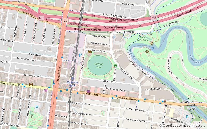
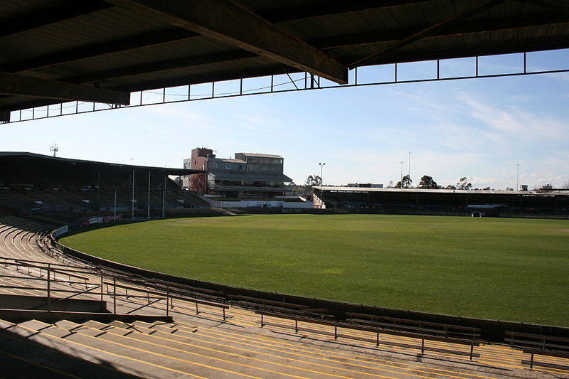
Victoria Park is a sports venue in Abbotsford, a suburb of Melbourne in Victoria, Australia. The stadium is oval shaped and was built to host Australian rules football and cricket matches. In the past Victoria Park featured a cycling track, tennis courts and a baseball club that once played curtain raisers to football matches. ()
Opened: 1879 (147 years ago)Capacity: 10 thous.Elevation: 85 ft a.s.l.Coordinates: 37°47'54"S, 144°59'49"E
Day trips
Victoria Park – popular in the area (distance from the attraction)
Nearby attractions include: Brunswick Street, Smith Street Bazaar, Yarra Bend Park, Abbotsford Convent.
Frequently Asked Questions (FAQ)
Which popular attractions are close to Victoria Park?
Nearby attractions include Dights Falls, Melbourne (6 min walk), Johnston Street Bridge, Melbourne (11 min walk), Clifton Hill Shot Tower, Melbourne (11 min walk), Abbotsford Convent, Melbourne (12 min walk).
How to get to Victoria Park by public transport?
The nearest stations to Victoria Park:
Train
Bus
Tram
Train
- Victoria Park (4 min walk)
- Collingwood (12 min walk)
Bus
- Nicholson Street/Johnston Street • Lines: 200, 207 (4 min walk)
- Truro Street/Hoddle Street • Lines: 246 (5 min walk)
Tram
- Stop 20: Keele Street • Lines: 86 (18 min walk)
- Stop 20: Rose Street • Lines: 86, 86d (18 min walk)

 Melbourne Trams
 Victoria Trains