Bill Lawry Oval, Melbourne
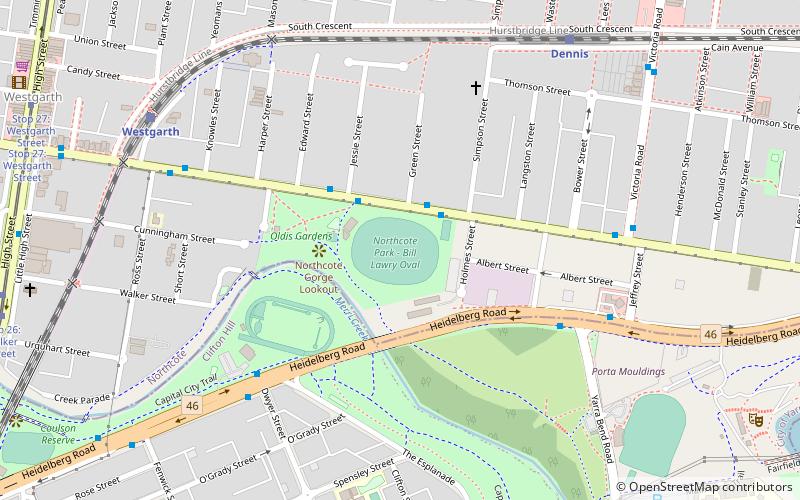
Map
Facts and practical information
Bill Lawry Oval, formerly known as Northcote Park, is a cricket and Australian rules football stadium located on Westgarth St, Northcote, Victoria. It is most notable as the home ground of the Northcote Cricket Club in the Victorian Premier Cricket, and of the Northcote Football Club in the Victorian Football Association. ()
Coordinates: 37°46'58"S, 145°0'17"E
Address
Darebin (Northcote)Melbourne
ContactAdd
Social media
Add
Getting there by public transportation
Public transportation stops near this location
- Bus
- Tram
- Train
 Bus
Bus
- Calculate routeGreen Street/Westgarth Street 2 min walk
- Calculate routeSimpson Street/Westgarth Street 2 min walk
- Calculate routeNorthcote Park/Westgarth Street 2 min walk
- Calculate routeJessie Street/Westgarth Street 3 min walk
- Calculate routeDennis 9 min walk
- Calculate routeWestgarth 9 min walk
- Calculate routeClifton Hill 17 min walk
- Calculate routeRushall 18 min walk
- Calculate routeStop 27: Westgarth Street 12 min walk
- Calculate routeStop 26: Walker Street 12 min walk
- Calculate routeStop 30: Clarke Street 15 min walk
- Calculate routeStop 25: Clifton Hill Interchange 16 min walk
Maps Melbourne TramsMaps
 Victoria Trains
Melbourne TramsMapsVictoria TrainsDay trips


Frequently Asked Questions (FAQ)
Which popular attractions are close to Bill Lawry Oval?
Nearby attractions include Westgarth, Melbourne (12 min walk), Northcote Town Hall, Melbourne (18 min walk), Fairfield Industrial Dog Object, Melbourne (20 min walk), Rushall Garden, Melbourne (21 min walk).
How to get to Bill Lawry Oval by public transport?
The nearest stations to Bill Lawry Oval:
Bus
Train
Tram
Bus
- Green Street/Westgarth Street • Lines: 250, 251 (2 min walk)
- Simpson Street/Westgarth Street • Lines: 250, 251 (2 min walk)
Train
- Dennis (9 min walk)
- Westgarth (9 min walk)
Tram
- Stop 27: Westgarth Street • Lines: 86, 86d (12 min walk)
- Stop 26: Walker Street • Lines: 86, 86d (12 min walk)