Yarra Bend Park, Melbourne
Map

Map

Facts and practical information
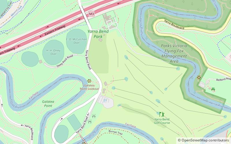
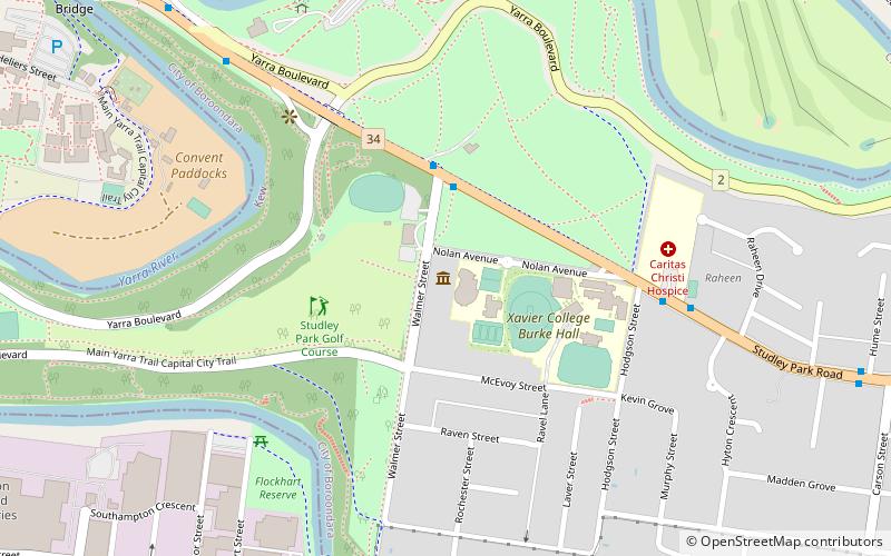
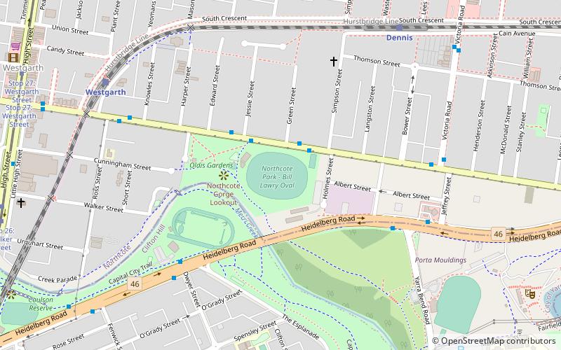
Yarra Bend Park is a 260 hectare park in the Melbourne suburb of Kew. Located 4 km northeast of Melbourne's CBD, it is the largest area of natural bushland left in inner Melbourne. The most notable feature of the park is the Yarra River which flows for 12 km through it. The park hosts two golf courses, two historic boathouses, sheds and a number of cycle and walking trails. It receives approximately 1.5 million visitors per year. ()
Elevation: 105 ft a.s.l.Coordinates: 37°47'46"S, 145°0'43"E
Day trips
Yarra Bend Park – popular in the area (distance from the attraction)
Nearby attractions include: Victoria Gardens Shopping Centre, Outer Circle Trail, Abbotsford Convent, Collingwood Children's Farm.
Frequently Asked Questions (FAQ)
When is Yarra Bend Park open?
Yarra Bend Park is open:
- Monday 9 am - 5 pm
- Tuesday 9 am - 5 pm
- Wednesday 9 am - 5 pm
- Thursday 9 am - 5 pm
- Friday 9 am - 5 pm
- Saturday 9 am - 5 pm
- Sunday 9 am - 5 pm
Which popular attractions are close to Yarra Bend Park?
Nearby attractions include Johnston Street Bridge, Melbourne (14 min walk), Collingwood Children's Farm, Melbourne (16 min walk), Dights Falls, Melbourne (16 min walk), Villa Alba Museum (17 min walk).
How to get to Yarra Bend Park by public transport?
The nearest stations to Yarra Bend Park:
Bus
Train
Tram
Bus
- Yarra Bend Park/Studley Park Road • Lines: 200, 207 (13 min walk)
- Walmer Street/Studley Park Road • Lines: 200, 207 (14 min walk)
Train
- Victoria Park (26 min walk)
- Clifton Hill (27 min walk)
Tram
- Stop 24: Victoria Gardens Shopping Centre • Lines: 109, 109d, 12, 12d (28 min walk)
- Stop 23: Leslie Street • Lines: 109, 12, 12d (28 min walk)

 Melbourne Trams
 Victoria Trains


