Rosalie, Brisbane
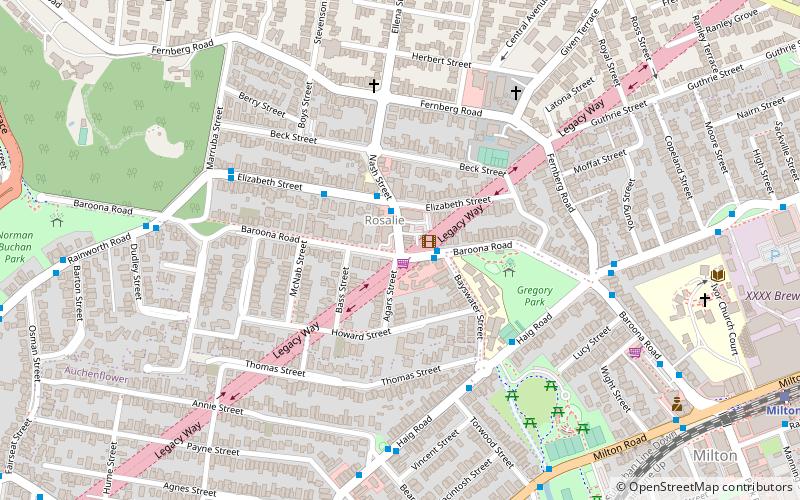
Map
Facts and practical information
Rosalie is a former suburb of Brisbane, Queensland, Australia. Since 1975, it has been a neighbourhood within the suburb of Paddington. ()
Coordinates: 27°27'58"S, 152°59'49"E
Address
MiltonBrisbane
ContactAdd
Social media
Add
Getting there by public transportation
Public transportation stops near this location
- Bus
- Train
 Bus
Bus
- Calculate routeBaroona Road at Rosalie Shops stop 9 2 min walk
- Calculate routeNash Street near Elizabeth Street stop 10 2 min walk
- Calculate routeElizabeth Street at Rosalie stop 10a 4 min walk
- Calculate routeMilton 14 min walk
- Calculate routeAuchenflower 18 min walk
Day trips


Frequently Asked Questions (FAQ)
Which popular attractions are close to Rosalie?
Nearby attractions include Marist Brothers College Rosalie Buildings, Brisbane (5 min walk), Legacy Way, Brisbane (6 min walk), Frew Park, Brisbane (8 min walk), Old Bishopsbourne Chapel, Brisbane (10 min walk).
How to get to Rosalie by public transport?
The nearest stations to Rosalie:
Bus
Train
Bus
- Baroona Road at Rosalie Shops stop 9 • Lines: 475, 476 (2 min walk)
- Nash Street near Elizabeth Street stop 10 • Lines: 475, 476 (2 min walk)
Train
- Milton (14 min walk)
- Auchenflower (18 min walk)