M7 cycleway, Sydney
Map
Facts and practical information
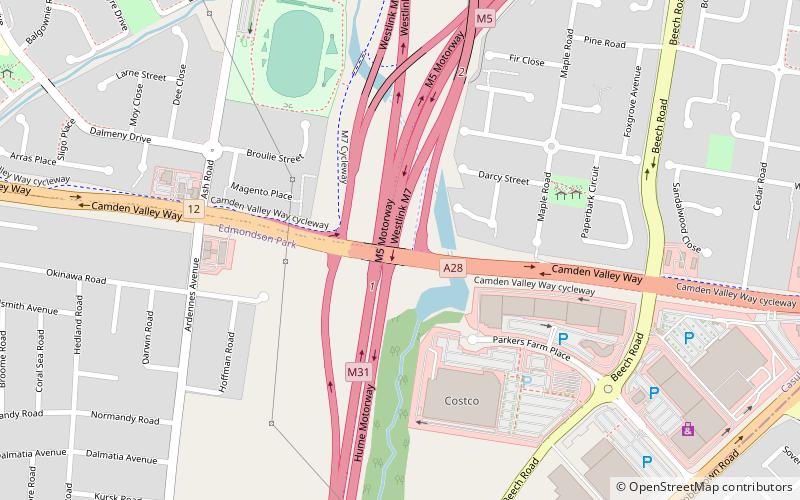
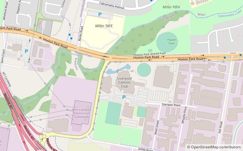
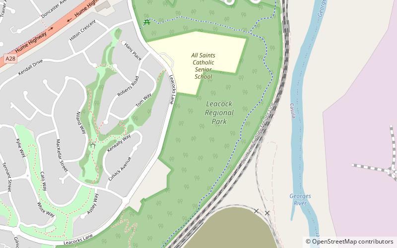
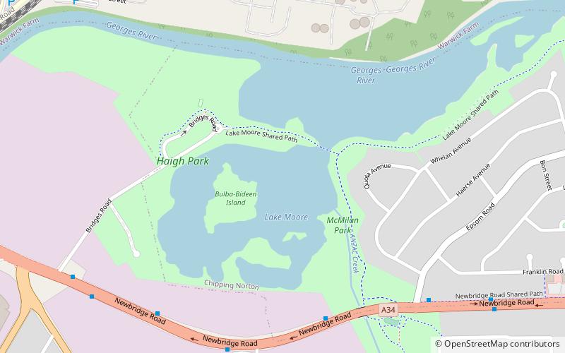
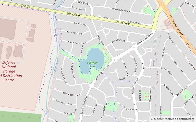
The M7 cycleway is a 40-kilometre-long shared use path for cyclists and pedestrians that is generally aligned with the Westlink M7 in Greater Western Sydney, New South Wales, Australia. The southern terminus of the cycleway is located adjacent to the Camden Valley Way at Prestons, while the northern terminus is located adjacent to the Old Windsor Road at Glenwood. The cycleway crosses the M4 motorway at Eastern Creek. ()
Length: 24.85 miCoordinates: 33°57'24"S, 150°52'37"E
Address
Liverpool (Casula)Sydney
ContactAdd
Social media
Add
Getting there by public transportation
Public transportation stops near this location
- Train
 Train
Train
- Calculate routeEdmondson Park 35 min walk
- Calculate routeGlenfield 36 min walk
Maps Sydney TrainsMaps
 Sydney Light RailMaps
 Sydney Ferries
Sydney TrainsMapsSydney Light RailMapsSydney FerriesDay trips


Frequently Asked Questions (FAQ)
How to get to M7 cycleway by public transport?
The nearest stations to M7 cycleway:
Train
Train
- Edmondson Park (35 min walk)
- Glenfield (36 min walk)