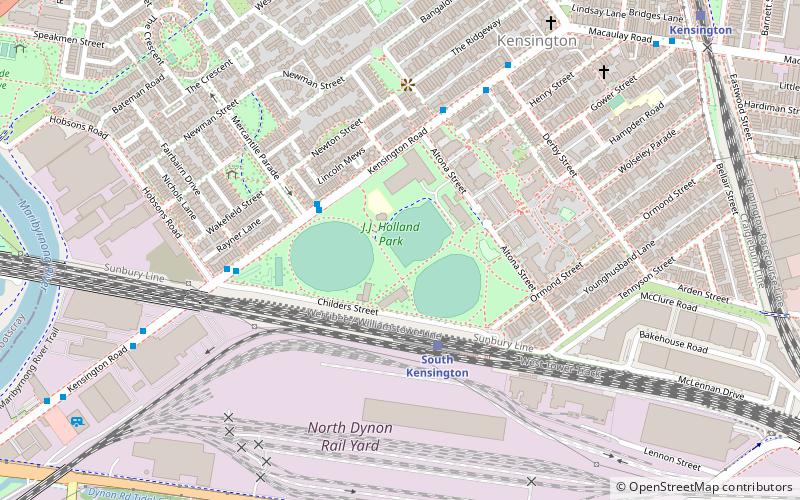
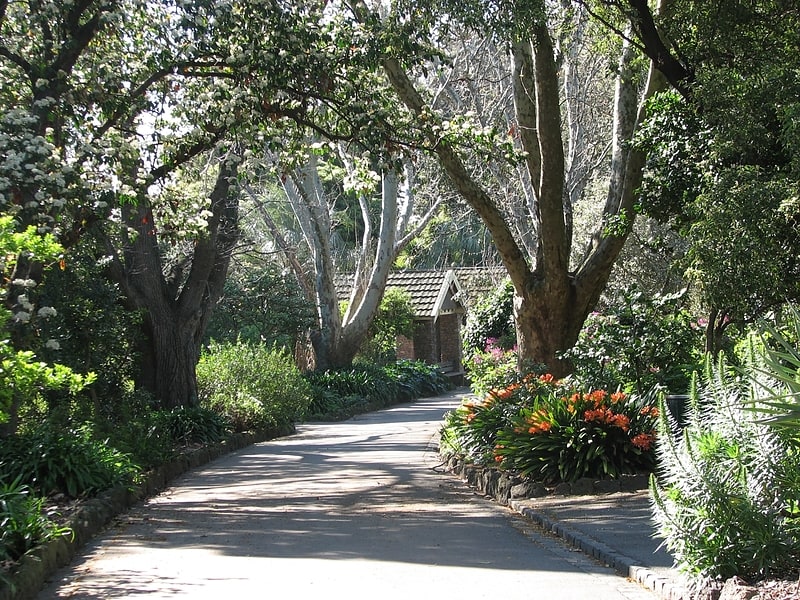
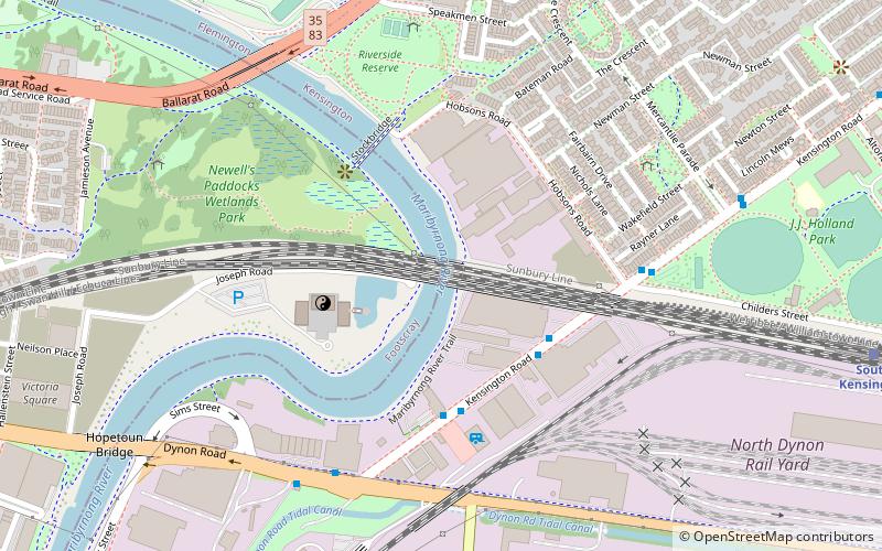
J.J. Holland Park, Melbourne
Map
Facts and practical information
J.J. Holland Park is a large multi-use park in the Melbourne suburb of Kensington. It is named after John Joseph Holland, who was the Member of the Legislative Assembly for Flemington for over 30 years from 1925. ()
Elevation: 46 ft a.s.l.Coordinates: 37°47'52"S, 144°55'27"E
Address
City of Melbourne (Kensington)Melbourne
ContactAdd
Social media
Add
Getting there by public transportation
Public transportation stops near this location
- Bus
- Tram
- Train
 Bus
Bus
- Calculate routeMercantile Parade/Kensington Road 3 min walk
- Calculate routeHobsons Road 6 min walk
- Calculate routeDerby St 6 min walk
- Calculate routeKensington SC 10 min walk
- Calculate routeSouth Kensington 4 min walk
- Calculate routeKensington 12 min walk
- Calculate routeMacaulay 18 min walk
- Calculate routeNewmarket 20 min walk
- Calculate routeStop 28: Smithfield Road 19 min walk
- Calculate routeStop 26: Newmarket Station 19 min walk
- Calculate routeStop 29: Flemington Racecourse 19 min walk
- Calculate routeStop 25: Wellington Street 20 min walk
Maps Melbourne TramsMaps
 Victoria Trains
Melbourne TramsMapsVictoria TrainsDay trips


Frequently Asked Questions (FAQ)
Which popular attractions are close to J.J. Holland Park?
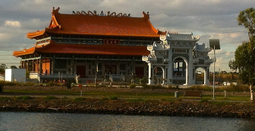
Nearby attractions include Saltwater River Rail Bridge, Melbourne (11 min walk), Heavenly Queen Temple, Melbourne (15 min walk), Melbourne Markets, Melbourne (16 min walk), Kensington Town Hall, Melbourne (17 min walk).
How to get to J.J. Holland Park by public transport?
The nearest stations to J.J. Holland Park:
Bus
Train
Tram
Bus
- Mercantile Parade/Kensington Road • Lines: 402 (3 min walk)
- Hobsons Road • Lines: 402 (6 min walk)
Train
- South Kensington (4 min walk)
- Kensington (12 min walk)
Tram
- Stop 28: Smithfield Road • Lines: 57, 57a (19 min walk)
- Stop 26: Newmarket Station • Lines: 57, 57a (19 min walk)