Ballymore Stadium, Brisbane
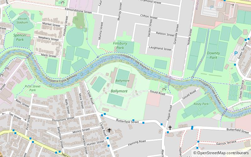
Map
Facts and practical information
Ballymore is a rugby union stadium situated in Herston, a suburb of Brisbane, Australia. It is the headquarters of Queensland Rugby Union and was the home ground of the Brisbane City team in the National Rugby Championship, until the league's disbandment in 2019. It is also used as a training facility for the Queensland Reds and Australian Wallabies rugby teams. ()
Getting there by public transportation
Public transportation stops near this location
- Bus
- Train
 Bus
Bus
- Calculate routeWilston 11 min walk
- Calculate routeNewmarket 20 min walk
- Calculate routeWindsor 21 min walk
- Calculate routeExhibition 26 min walk
- Calculate routeKelvin Grove Road at Guildford Street stop 15 16 min walk
Day trips


Frequently Asked Questions (FAQ)
Which popular attractions are close to Ballymore Stadium?
Nearby attractions include Spencer Park, Brisbane (13 min walk), Herston, Brisbane (14 min walk), Marks-Hirschfeld Museum of Medical History, Brisbane (15 min walk), Wilston, Brisbane (15 min walk).
How to get to Ballymore Stadium by public transport?
The nearest stations to Ballymore Stadium:
Train
Bus
Train
- Wilston (11 min walk)
- Newmarket (20 min walk)
Bus
- Kelvin Grove Road at Guildford Street stop 15 • Lines: 372 (16 min walk)