Waterfront Place, Brisbane
Map
Gallery
Facts and practical information
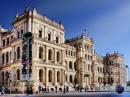
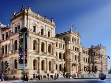
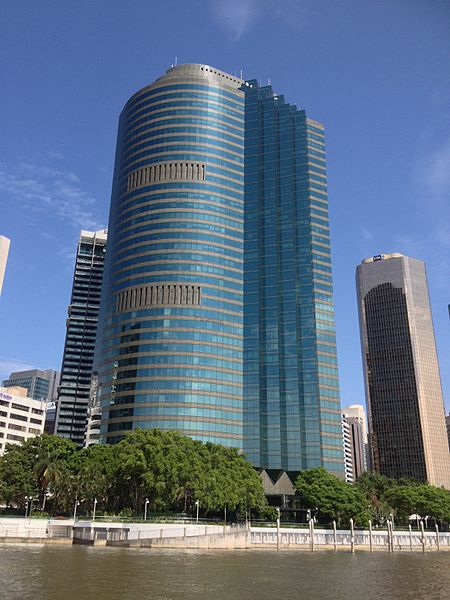
Waterfront Place is an office building in the Brisbane central business district in Queensland, Australia. It is located at 1 Eagle Street, beside the Brisbane River. It was constructed by renowned Queensland builder and developer F. A. Pidgeon and Son who led the projects development in a joint venture with Folkestone Limited. Construction was completed in 1989. The building stands 162 metres tall. ()
Opened: 15 February 1990 (36 years ago)Floors: 40Coordinates: 27°28'13"S, 153°1'48"E
Address
Brisbane CityBrisbane
ContactAdd
Social media
Add
Day trips
Waterfront Place – popular in the area (distance from the attraction)
Nearby attractions include: Queen Street Mall, QueensPlaza, The Myer Centre, Brisbane Arcade.
Frequently Asked Questions (FAQ)
Which popular attractions are close to Waterfront Place?
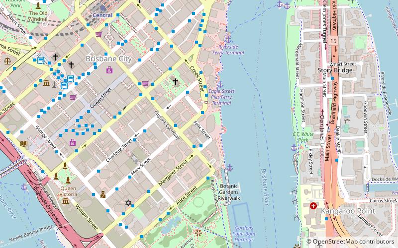
Nearby attractions include Metro Arts, Brisbane (2 min walk), Old St Stephen's Church, Brisbane (4 min walk), Cathedral of St Stephen, Brisbane (4 min walk), Mary Street, Brisbane (4 min walk).
How to get to Waterfront Place by public transport?
The nearest stations to Waterfront Place:
Bus
Ferry
Train
Bus
- Eagle Street Stop 153 • Lines: N100, N339 (3 min walk)
- Edward Street Stop 144 near Elizabeth St • Lines: P331 (4 min walk)
Ferry
- Eagle Street Pier Ferry Terminal • Lines: Chop-400, Xrvr-400 (4 min walk)
- Thornton Street Ferry Terminal • Lines: Chop-400, Xrvr-400 (7 min walk)
Train
- Central (11 min walk)
- Roma Street (21 min walk)


