Yokine, Perth

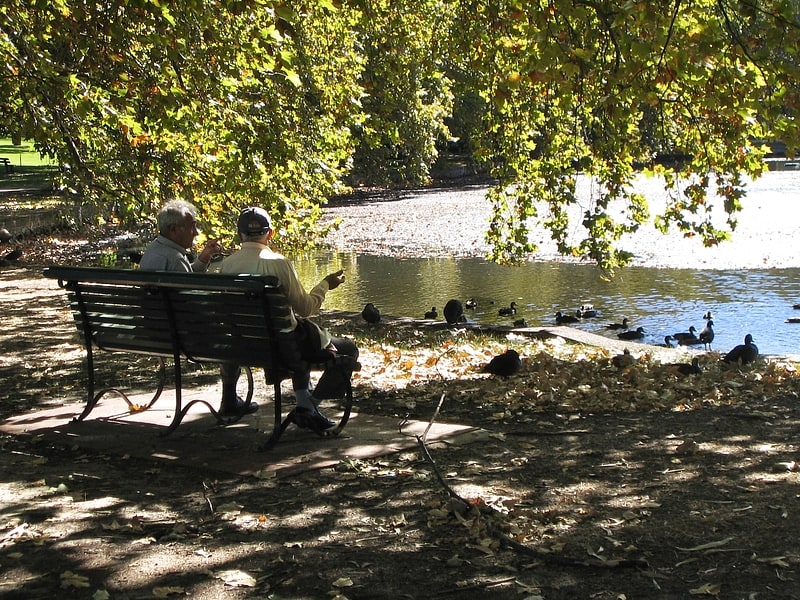
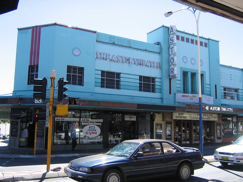
Gallery (1)
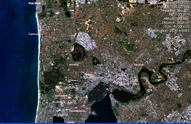
Map
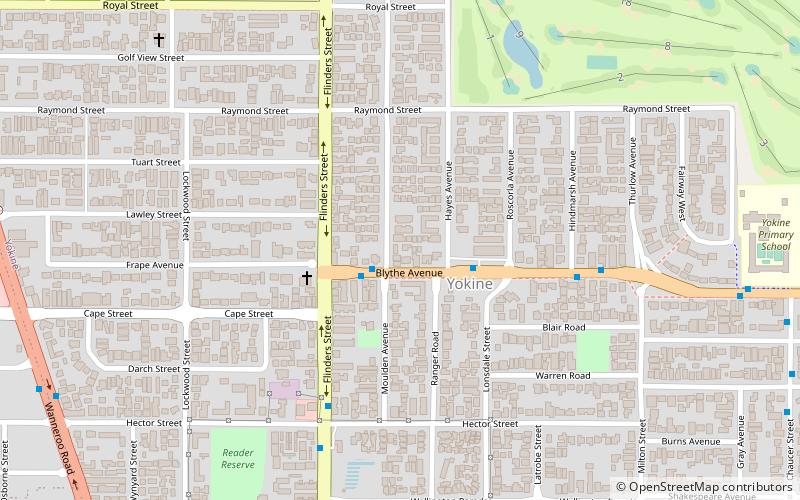
Map
Facts and practical information
Yokine is a suburb of Perth, Western Australia. Its local government area is the City of Stirling. ()
Coordinates: 31°54'4"S, 115°51'4"E
Address
YokinePerth
ContactAdd
Social media
Add
Getting there by public transportation
Public transportation stops near this location
- Bus
 Bus
Bus
- Calculate routeEdinboro Street before McDonald Street 18 min walk
- Calculate routeMcDonald Street before Banksia Street 20 min walk
Day trips


Frequently Asked Questions (FAQ)
How to get to Yokine by public transport?
The nearest stations to Yokine:
Bus
Bus
- Edinboro Street before McDonald Street • Lines: 404 (18 min walk)
- McDonald Street before Banksia Street • Lines: 404 (20 min walk)