Flinders Street Viaduct, Melbourne
Map
Gallery
Facts and practical information
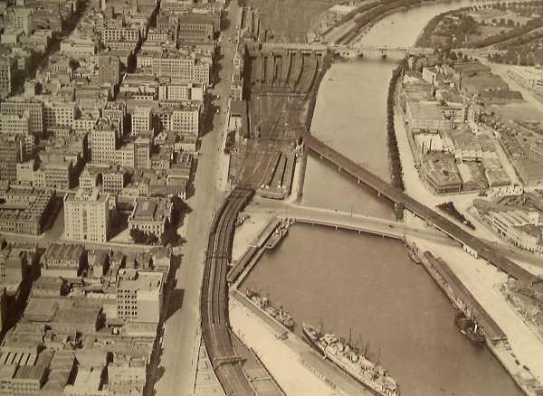
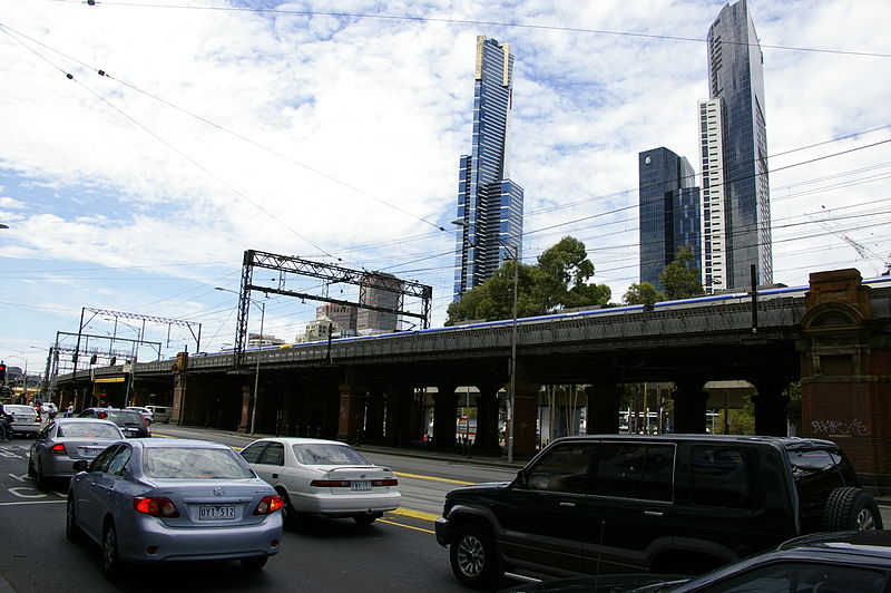
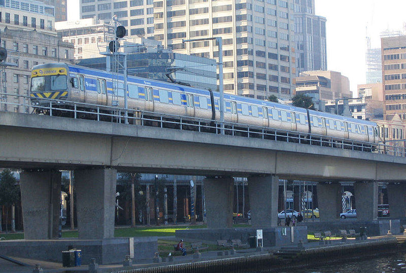
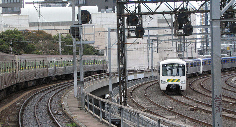
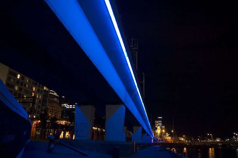
The Flinders Street Viaduct is a railway bridge in Melbourne, Australia. Made up of six tracks of varying ages, it links Flinders Street station to Southern Cross station and forms the main link between the eastern and western parts of the Victorian rail network. ()
Coordinates: 37°49'11"S, 144°57'32"E
Address
452 Flinders StreetCity of Melbourne (Melbourne CBD)Melbourne
ContactAdd
Social media
Add
Day trips
Flinders Street Viaduct – popular in the area (distance from the attraction)
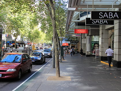
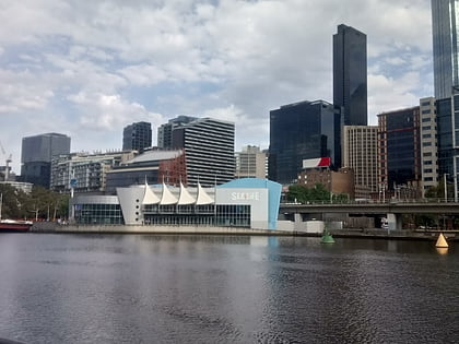
Nearby attractions include: Collins Street, Sea Life Melbourne Aquarium, Royal Arcade, Block Arcade.
Frequently Asked Questions (FAQ)
Which popular attractions are close to Flinders Street Viaduct?
Nearby attractions include Immigration Museum, Melbourne (2 min walk), Rialto Towers, Melbourne (2 min walk), Sea Life Melbourne Aquarium, Melbourne (3 min walk), Queens Bridge, Melbourne (4 min walk).
How to get to Flinders Street Viaduct by public transport?
The nearest stations to Flinders Street Viaduct:
Tram
Bus
Train
Ferry
Tram
- Stop 2: Melbourne Aquarium • Lines: 35, 70, 70d, 75 (2 min walk)
- Stop 1: Flinders Street • Lines: 58, 58d (4 min walk)
Bus
- Flinders Street/Queens Bridge Street • Lines: 234, 236 (3 min walk)
- Market Street/Flinders Street • Lines: 605 (5 min walk)
Train
- Southern Cross (10 min walk)
- Flinders Street (12 min walk)
Ferry
- Port Phillip Ferries (21 min walk)


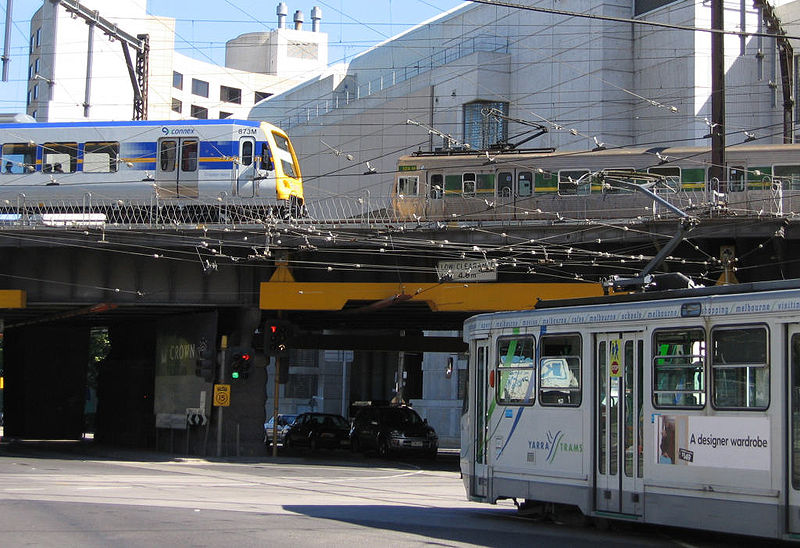

 Melbourne Trams
 Victoria Trains