Flinders Street Railway Station, Melbourne
Map

Map

Facts and practical information
Flinders Street railway station is located on the corner of Flinders and Swanston streets in the central business district of Melbourne, Victoria, Australia. Opened in 1854, the historic station serves the entire metropolitan rail network, as well as some country services to eastern Victoria. Backing onto the Yarra River in the heart of the city, the complex includes platforms and structures that stretch over more than two whole city blocks, from east of Swanston Street nearly to Market Street. ()
Day trips
Flinders Street Railway Station – popular in the area (distance from the attraction)
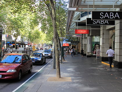
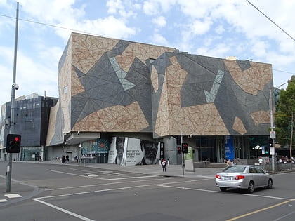
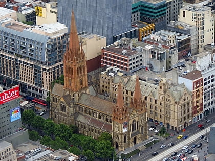
Nearby attractions include: Collins Street, ACMI, Federation Square, St Paul's Cathedral.
Frequently Asked Questions (FAQ)
Which popular attractions are close to Flinders Street Railway Station?
Nearby attractions include Flinders Lane, Melbourne (2 min walk), Port Phillip Arcade, Melbourne (2 min walk), Degraves Street, Melbourne (3 min walk), Princes Bridge, Melbourne (3 min walk).
How to get to Flinders Street Railway Station by public transport?
The nearest stations to Flinders Street Railway Station:
Train
Tram
Bus
Train
- Flinders Street (1 min walk)
- Parliament (16 min walk)
Tram
- Stop 13: Federation Square • Lines: 1, 16, 16d, 3, 3a, 5, 6, 64, 64d, 67, 67d, 6d, 72 (2 min walk)
- Stop 5: Flinders Street Station, Swanston Street • Lines: 35, 70, 70d, 75 (2 min walk)
Bus
- Arts Centre • Lines: 109 (6 min walk)
- Banana Alley Vaults/Flinders Street • Lines: 234, 236, 605 (8 min walk)

 Melbourne Trams
 Victoria Trains