Cook Island Aquatic Reserve
#3512 among destinations in Australia


Facts and practical information
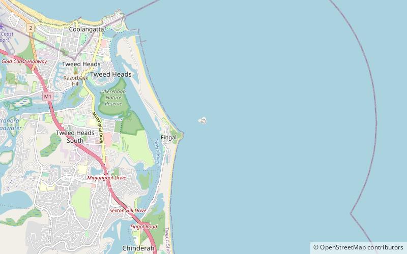
Cook Island Aquatic Reserve is a marine protected area located in the South Pacific Ocean, located around Cook Island about 600 metres from the Fingal Head mainland of New South Wales. ()
New South WalesAustralia
Cook Island Aquatic Reserve – popular in the area (distance from the attraction)
Nearby attractions include: Point Danger, Fingal Head Lighthouse, Jazzland Coolangatta, Gold Coast/Tweed Heads.
 Observation decks and towers, Lighthouse, Vernacular architecture
Point Danger, Gold Coast
73 min walk • Perched on the coastal headland of the Gold Coast, Point Danger stands as a sentinel overlooking the azure waters where the Coral Sea meets the Tasman Sea. Home to a prominent lighthouse, this iconic location is not only a navigational aid but also a symbol of the...
 Lighthouse
Fingal Head Lighthouse
13 min walk • Perched atop the craggy headland of Fingal Head, the Fingal Head Lighthouse stands as a sentinel overlooking the Pacific Ocean in New South Wales, Australia. This historic beacon of light, erected in 1872, has been guiding mariners safely along the coast for over a...
 Music venue
Jazzland Coolangatta
85 min walk • Jazzland Dance Hall, also known as Jazzland Dance Palais, was a dance hall located in Coolangatta, Queensland. The venue was built in 1928 and was used as an entertainment venue throughout the first half of the twentieth century.
 City, Area
Gold Coast/Tweed Heads, Gold Coast
58 min walk • Tweed Heads is a town in New South Wales. It is located on the Tweed River in north-eastern New South Wales, Australia, in Tweed Shire, next to the border with Queensland and adjacent to its "twin town" of Coolangatta, which is a suburb of the Gold Coast.
 Protected area
Cook Island Nature Reserve
4 min walk • Cook Island Nature Reserve is a protected area in the Australian state of new South Wales located on Cook Island about 600 metres off the coastline from the headland of Fingal Head and about 4 kilometres south-east of Tweed Heads on the state's north coast.
 Australian animal park with activities
Currumbin Wildlife Sanctuary, Gold Coast
178 min walk • Currumbin Wildlife Sanctuary is a heritage-listed zoological garden at 28 Tomewin Street, Currumbin, Queensland, Australia. It was built in 1947 onwards. It was added to the Queensland Heritage Register on 18 September 2009.
 Surfing
Snapper Rocks, Gold Coast
76 min walk • Snapper Rocks is a small rocky outcrop on the northern side of Point Danger at the southern end of Rainbow Bay on the Gold Coast, Queensland, Australia. It is a famous surf break and today the start of the large sand bank known to surfers as the Superbank.
 Area
AreaCoolangatta, Gold Coast
84 min walk • Coolangatta is a coastal suburb in the City of Gold Coast, Queensland, Australia. It is the Gold Coast's southernmost suburb and it borders New South Wales. In the 2016 census, Coolangatta had a population of 5,948 people.
 28°10'52"S • 153°32'20"E
Coolangatta Whale Watch, Gold Coast
68 min walk • Dolphin and whale watching, Outdoor activities, Tours
 Surfing
Rainbow Bay, Gold Coast
78 min walk • Rainbow Bay is a bay, beach and locality at the southern end of Coolangatta within the City of Gold Coast, Queensland, Australia.
 Surfing
Duranbah Beach, Gold Coast
67 min walk • Duranbah Beach, officially known as Flagstaff Beach, is the northernmost beach in New South Wales. Located in the Tweed Shire, Duranbah Beach is situated between the mouth of the Tweed River and the rocky headland Point Danger which also marks the Queensland-New South Wales border.
