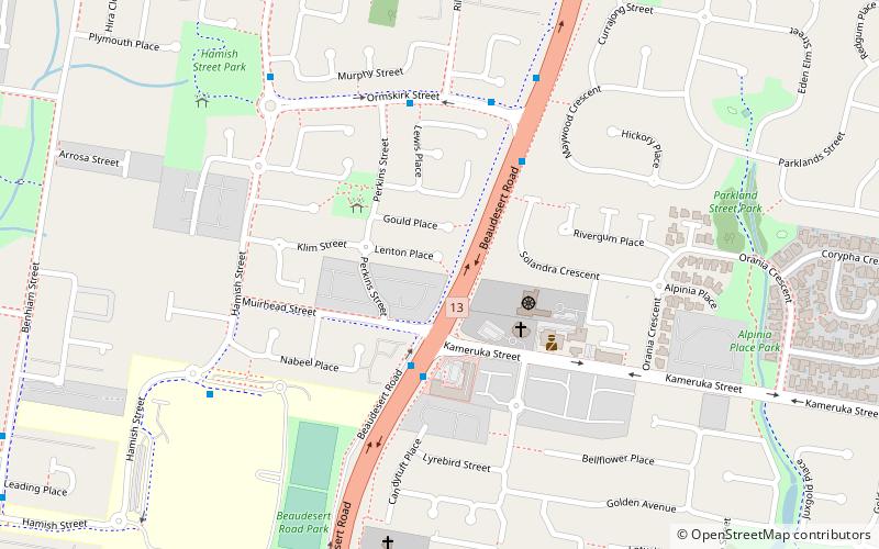
Calamvale, Brisbane

Map
Facts and practical information
Calamvale is a southern suburb in the City of Brisbane, Queensland, Australia. In the 2016 census Calamvale had a population of 17,124 people. ()
Coordinates: 27°37'21"S, 153°2'54"E
Day trips
Calamvale – popular in the area (distance from the attraction)
Nearby attractions include: Westfield Garden City, Forest Lake Shopping Centre, Rocks Riverside Park, God's Acre Cemetery.
Frequently Asked Questions (FAQ)
How to get to Calamvale by public transport?
The nearest stations to Calamvale:
Bus
Bus
- Honeysuckle Way at Sunflower • Lines: P151 (14 min walk)
- Gowan Road at Pennant Hills • Lines: P151 (19 min walk)


