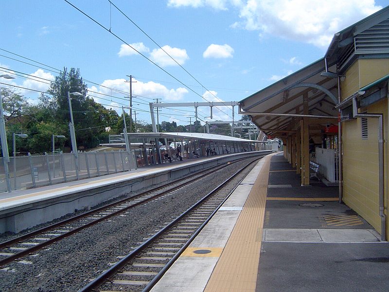
Oxley, Brisbane
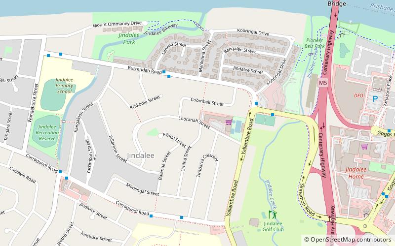
Map
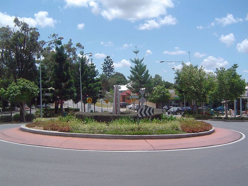
Gallery
Facts and practical information
Oxley is a south-western suburb in the City of Brisbane, Queensland, Australia. In the 2016 census, Oxley had a population of 8,336 people. ()
Established: 1851 (175 years ago)Coordinates: 27°33'50"S, 152°58'30"E
Address
OxleyBrisbane
ContactAdd
Social media
Add
Day trips
Oxley – popular in the area (distance from the attraction)
Nearby attractions include: Lone Pine Koala Sanctuary, Mt Ommaney Centre, Queensland Tennis Centre, Moorooka State School.
Frequently Asked Questions (FAQ)
How to get to Oxley by public transport?
The nearest stations to Oxley:
Bus
Train
Bus
- Blunder Rd at Blunder - Oxley, stop 66 • Lines: 100, N100 (11 min walk)
- Blunder Road at Blunder - Oxley stop 66 • Lines: 100 (11 min walk)
Train
- Oxley (22 min walk)


