City Road, Sydney

Gallery (1)
Map
Map
Facts and practical information
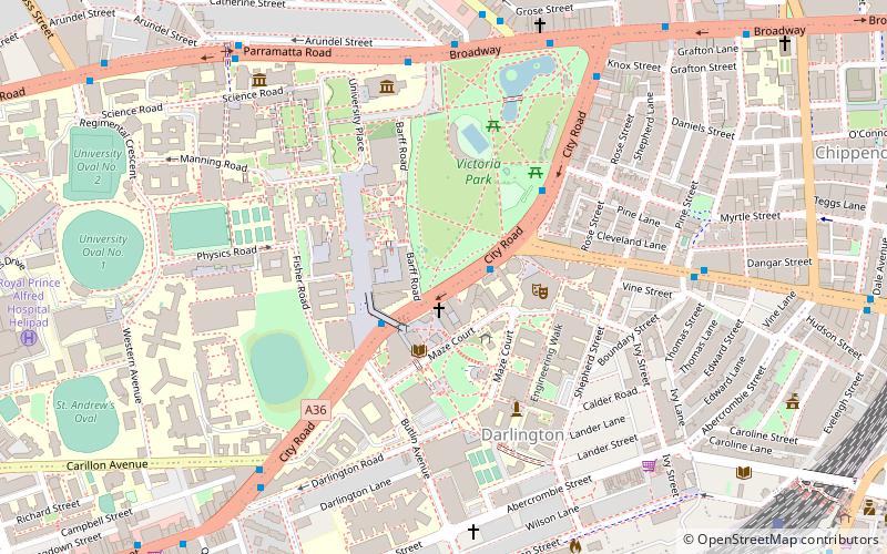
City Road is a busy 1-kilometre thoroughfare located in Sydney, New South Wales, Australia. City Road runs south from a junction with Broadway and Parramatta Road, through the University of Sydney and becomes King Street as it enters the suburb of Newtown. ()
Coordinates: 33°53'18"S, 151°11'30"E
Address
Inner West (Camperdown)Sydney
ContactAdd
Social media
Add
Getting there by public transportation
Public transportation stops near this location
- Bus
- Light rail
- Train
- Ferry
 Bus
Bus
- Calculate routeGlebe, Glebe Point Road at Broadway 8 min walk
- Calculate routeGlebe Point Road after Broadway 8 min walk
- Calculate routeSydney University Footbridge 9 min walk
- Calculate routeGlebe Public School, Glebe Point Rd 9 min walk
- Calculate routeRedfern 12 min walk
- Calculate routeMacdonaldtown 18 min walk
- Calculate routeCentral 22 min walk
- Calculate routeErskineville 24 min walk
- Calculate routeGlebe 21 min walk
- Calculate routePaddy's Markets 23 min walk
- Calculate routeExhibition Centre 23 min walk
- Calculate routeHaymarket 24 min walk
- Calculate routeBlackwattle Bay Wharf 32 min walk
Maps Sydney TrainsMaps
 Sydney Light RailMaps
 Sydney Ferries
Sydney TrainsMapsSydney Light RailMapsSydney FerriesDay trips
City Road – popular in the area (distance from the attraction)
Nearby attractions include: Carriageworks, Broadway Shopping Centre, Central Park, Wentworth Park.


Frequently Asked Questions (FAQ)
Which popular attractions are close to City Road?
Nearby attractions include University of Sydney Library, Sydney (4 min walk), Seymour Centre, Sydney (4 min walk), Sydney University Lawn Tennis Club, Sydney (4 min walk), Victoria Park, Sydney (5 min walk).
How to get to City Road by public transport?
The nearest stations to City Road:
Bus
Train
Light rail
Ferry
Bus
- Glebe, Glebe Point Road at Broadway • Lines: 431, 433 (8 min walk)
- Glebe Point Road after Broadway • Lines: 431, 433 (8 min walk)
Train
- Redfern (12 min walk)
- Macdonaldtown (18 min walk)
Light rail
- Glebe • Lines: L1 (21 min walk)
- Paddy's Markets • Lines: L1 (23 min walk)
Ferry
- Blackwattle Bay Wharf (32 min walk)