Bald Rock Hotel, Sydney
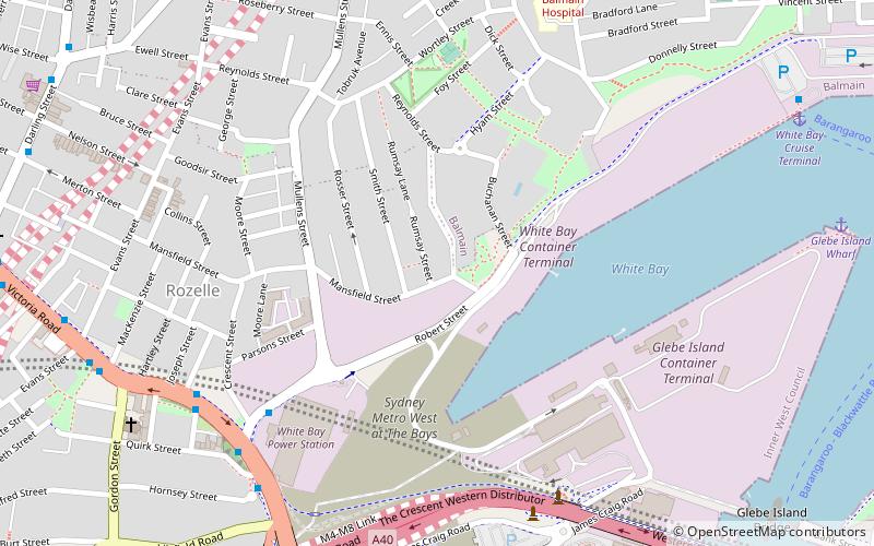
Map

Map

Facts and practical information
Coordinates: 33°51'51"S, 151°10'45"E
Address
Inner West (Balmain)Sydney
Contact
+61 2 9818 4792
Social media
Add
Day trips
Bald Rock Hotel – popular in the area (distance from the attraction)
Nearby attractions include: Birkenhead Point Outlet Centre, Rozelle Tram Depot, Harbourside Shopping Centre, Iloura Reserve.
Frequently Asked Questions (FAQ)
Which popular attractions are close to Bald Rock Hotel?
Nearby attractions include Sydney Fish Market, Sydney (8 min walk), Sydney Superyacht Marina, Sydney (10 min walk), Anzac Bridge, Sydney (12 min walk), Glebe Island Bridge, Sydney (13 min walk).
How to get to Bald Rock Hotel by public transport?
The nearest stations to Bald Rock Hotel:
Bus
Ferry
Light rail
Bus
- White Bay - Hornsey St • Lines: M52 (8 min walk)
- Victoria Rd before Maney St • Lines: 433 (8 min walk)
Ferry
- Blackwattle Bay Wharf (16 min walk)
- Balmain (20 min walk)
Light rail
- Rozelle Bay • Lines: L1 (17 min walk)
- John Street Square • Lines: L1 (20 min walk)

 Sydney Trains
 Sydney Light Rail
 Sydney Ferries


