67 Spencer Street, Melbourne
Map
Facts and practical information
67 Spencer Street is the former head offices of the Victorian Railways, on Spencer Street, Melbourne, Australia. Today it is used as a hotel and apartments. The Renaissance Revival style building is one of the major Victorian era buildings in Melbourne and listed on the Victorian Heritage Register. ()
Architectural style: Renaissance revivalCoordinates: 37°49'13"S, 144°57'15"E
Address
City of Melbourne (Docklands)Melbourne
Contact
+61 3 9620 7606
Social media
Add
Getting there by public transportation
Public transportation stops near this location
- Bus
- Tram
- Train
- Ferry
 Bus
Bus
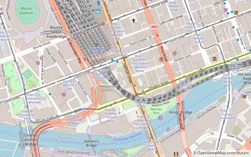
- Calculate routeSouthern Cross Station 2 min walk
- Calculate routeSouthern Cross Coach Terminal 9 min walk
- Calculate routeFlinders Street/Queens Bridge Street 10 min walk
- Calculate routeStop 1: Spencer Street 3 min walk
- Calculate routeStop 1: Southern Cross Station, Spencer Street 3 min walk
- Calculate routeStop D6: Flinders Street West 3 min walk
- Calculate routeStop D14: Southern Cross Station 3 min walk
- Calculate routeSouthern Cross 5 min walk
- Calculate routeFlagstaff 15 min walk
- Calculate routeFlinders Street 19 min walk
- Calculate routeMelbourne Central 22 min walk
- Calculate routePort Phillip Ferries 15 min walk
Maps Melbourne TramsMaps
 Victoria Trains
Melbourne TramsMapsVictoria TrainsDay trips
67 Spencer Street – popular in the area (distance from the attraction)
Nearby attractions include: Sea Life Melbourne Aquarium, Sandridge Bridge, DFO South Wharf, Etihad Stadium.


Frequently Asked Questions (FAQ)
Which popular attractions are close to 67 Spencer Street?
Nearby attractions include Batman's Hill, Melbourne (2 min walk), Victoria Police Museum, Melbourne (4 min walk), 568 Collins Street, Melbourne (5 min walk), Batman Park, Melbourne (5 min walk).
How to get to 67 Spencer Street by public transport?
The nearest stations to 67 Spencer Street:
Bus
Tram
Train
Ferry
Bus
- Southern Cross Station • Lines: 235, 237 (2 min walk)
- Southern Cross Coach Terminal • Lines: SkyBus (9 min walk)
Tram
- Stop 1: Spencer Street • Lines: 35, 70, 70d, 75 (3 min walk)
- Stop 1: Southern Cross Station, Spencer Street • Lines: 109, 11, 12, 12d, 48 (3 min walk)
Train
- Southern Cross (5 min walk)
- Flagstaff (15 min walk)
Ferry
- Port Phillip Ferries (15 min walk)