Jacksons Landing, Sydney
Gallery (1)
Map
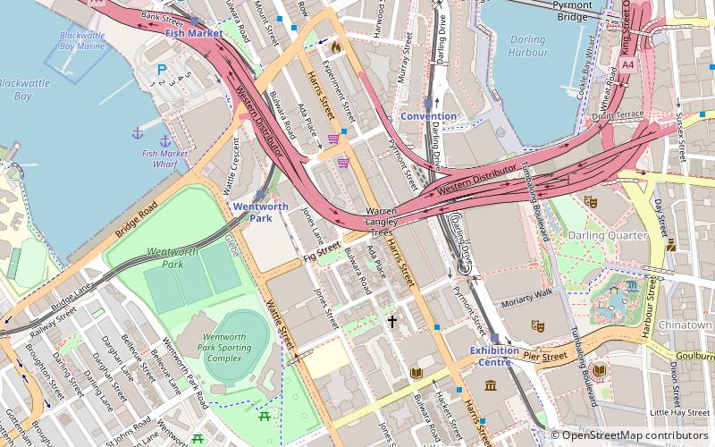
Map
Facts and practical information
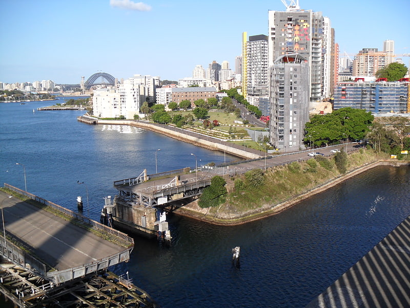
Jacksons Landing is the name of a residential and commercial property development located on the northern peninsula of Pyrmont, an inner suburb of Sydney, Australia. It is located on the former site of a major sugar refinery which was operated by CSR Limited and is being developed by the Lendlease, a well-known real estate developer. ()
Coordinates: 33°52'30"S, 151°11'47"E
Address
Central Business District (Pyrmont)Sydney
ContactAdd
Social media
Add
Getting there by public transportation
Public transportation stops near this location
- Bus
- Light rail
- Train
- Ferry
 Bus
Bus
- Calculate routeWentworth Park 4 min walk
- Calculate routeConvention 5 min walk
- Calculate routeExhibition Centre 7 min walk
- Calculate routeFish Market 10 min walk
- Calculate routeMaritime Museum 10 min walk
- Calculate routeMount St 10 min walk
- Calculate routeStand N, Town Hall, Druitt Street 13 min walk
- Calculate routeStand L, Town Hall, Druitt Street 14 min walk
- Calculate routePyrmont Bay Wharf 13 min walk
- Calculate routeDarling Harbour Wharf 1 17 min walk
- Calculate routeBlackwattle Bay Wharf 18 min walk
- Calculate routeBarangaroo, Wharf 1 20 min walk
- Calculate routeTown Hall 16 min walk
- Calculate routeMuseum 21 min walk
- Calculate routeCentral 21 min walk
- Calculate routeWynyard 21 min walk
Maps Sydney TrainsMaps
 Sydney Light RailMaps
 Sydney Ferries
Sydney TrainsMapsSydney Light RailMapsSydney FerriesDay trips
Jacksons Landing – popular in the area (distance from the attraction)
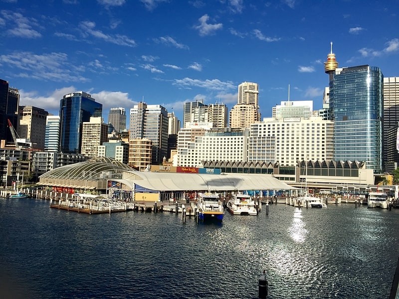
Nearby attractions include: SEA LIFE Sydney Aquarium, Darling Harbour, Australian National Maritime Museum, International Convention Centre Sydney.


Frequently Asked Questions (FAQ)
Which popular attractions are close to Jacksons Landing?
Nearby attractions include Jessie Street National Women's Library, Sydney (6 min walk), Sydney Convention and Exhibition Centre, Sydney (6 min walk), International Convention Centre Sydney, Sydney (6 min walk), Darling Harbour Woodward Water Feature, Sydney (7 min walk).
How to get to Jacksons Landing by public transport?
The nearest stations to Jacksons Landing:
Light rail
Bus
Ferry
Train
Light rail
- Wentworth Park • Lines: L1 (4 min walk)
- Convention • Lines: L1 (5 min walk)
Bus
- Maritime Museum (10 min walk)
- Mount St (10 min walk)
Ferry
- Pyrmont Bay Wharf • Lines: F4, Ferry (13 min walk)
- Darling Harbour Wharf 1 (17 min walk)
Train
- Town Hall (16 min walk)
- Museum (21 min walk)