Rowe Street, Sydney
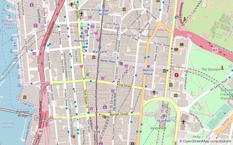
Map
Facts and practical information
Rowe Street is a narrow laneway in the central business district of Sydney in New South Wales, Australia. Originally, Rowe Street ran between Castlereagh Street and Pitt Street, parallel to Martin Place. However, it now runs east–west off Pitt Street. Rowe Street was named in honour of Thomas Rowe, a prominent architect in New South Wales. ()
Coordinates: 33°52'6"S, 151°12'30"E
Address
Central Business District (Sydney City Center)Sydney
ContactAdd
Social media
Add
Getting there by public transportation
Public transportation stops near this location
- Bus
- Light rail
- Train
- Ferry
 Bus
Bus
- Calculate routeStand G, Martin Place, Castlereagh St 3 min walk
- Calculate routeStand E, Martin Place, Elizabeth Street 4 min walk
- Calculate routeStand C, Martin Place, Elizabeth Street 4 min walk
- Calculate routeBarrack St 5 min walk
- Calculate routeWynyard 4 min walk
- Calculate routeQvb 7 min walk
- Calculate routeBridge Street 8 min walk
- Calculate routeTown Hall 11 min walk
- Calculate routeMartin Place 4 min walk
- Calculate routeWynyard 6 min walk
- Calculate routeSt James 7 min walk
- Calculate routeTown Hall 10 min walk
- Calculate routeDarling Harbour Wharf 1 12 min walk
- Calculate routeBarangaroo, Wharf 1 14 min walk
- Calculate routePyrmont Bay Wharf 15 min walk
- Calculate routeCircular Quay Wharf 5 15 min walk
Maps Sydney TrainsMaps
 Sydney Light RailMaps
 Sydney Ferries
Sydney TrainsMapsSydney Light RailMapsSydney FerriesDay trips


Frequently Asked Questions (FAQ)
Which popular attractions are close to Rowe Street?
Nearby attractions include Theatre Royal, Sydney (1 min walk), Martin Place, Sydney (2 min walk), 25 Martin Place, Sydney (2 min walk), Sydney Cenotaph, Sydney (2 min walk).
How to get to Rowe Street by public transport?
The nearest stations to Rowe Street:
Bus
Light rail
Train
Ferry
Bus
- Stand G, Martin Place, Castlereagh St • Lines: 431 (3 min walk)
- Stand E, Martin Place, Elizabeth Street • Lines: M52 (4 min walk)
Light rail
- Wynyard • Lines: L2, L3 (4 min walk)
- Qvb • Lines: L2, L3 (7 min walk)
Train
- Martin Place (4 min walk)
- Wynyard (6 min walk)
Ferry
- Darling Harbour Wharf 1 (12 min walk)
- Barangaroo, Wharf 1 (14 min walk)