Horseshoe Bend Farm, Melbourne
Map
Facts and practical information
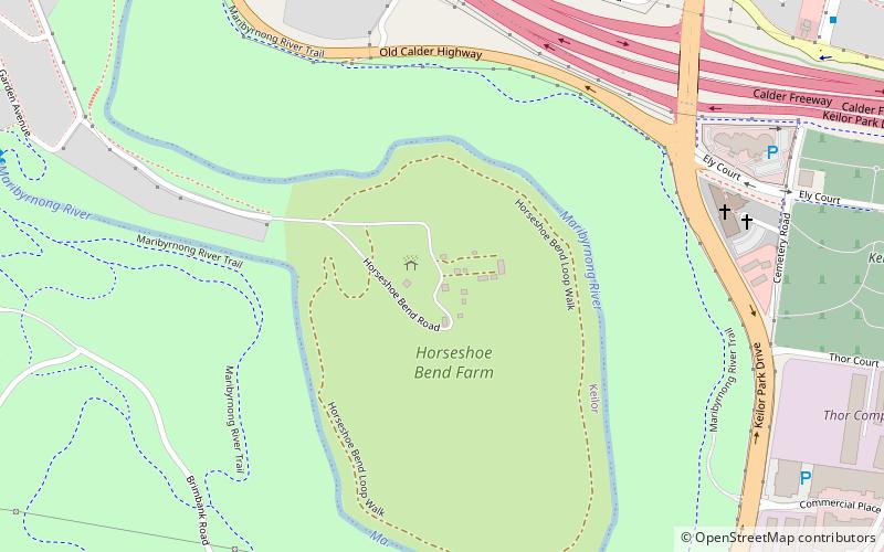
Horseshoe Bend Farm is a 26 hectares park in the western suburbs of Melbourne, Australia, adjacent to Brimbank Park on the Maribyrnong River. Formerly a commercial farm, it is now managed by Parks Victoria, but no longer has any livestock. An original 1930s weatherboard cottage still exists on the site. Previously the park was closed for nearly five years but has recently opened again. ()
Elevation: 105 ft a.s.l.Coordinates: 37°43'44"S, 144°50'41"E
Address
Brimbank (Keilor)Melbourne
ContactAdd
Social media
Add
Getting there by public transportation
Public transportation stops near this location
- Bus
 Bus
Bus
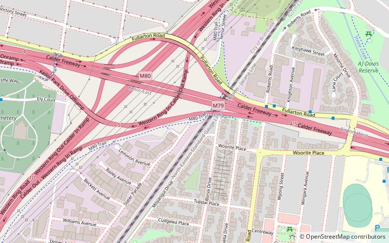
- Calculate routeFullarton Road/Fosters Road 13 min walk
- Calculate routeKeilor Cemetery/Ely Court 14 min walk
- Calculate routeSwan Street/Fosters Road 15 min walk
- Calculate routeFlora Street/Old Calder Highway 19 min walk
Maps Melbourne TramsMaps
 Victoria Trains
Melbourne TramsMapsVictoria TrainsDay trips


Frequently Asked Questions (FAQ)
Which popular attractions are close to Horseshoe Bend Farm?
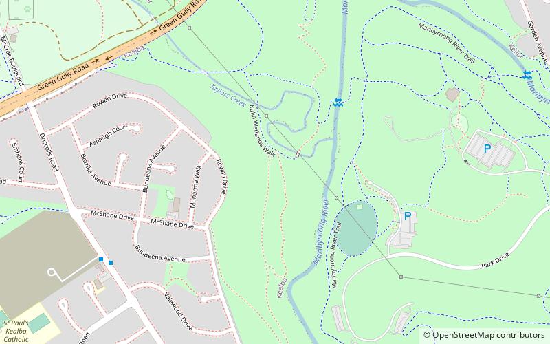
Nearby attractions include Brimbank Park, Melbourne (12 min walk), Green Gully archaeological site, Melbourne (23 min walk).
How to get to Horseshoe Bend Farm by public transport?
The nearest stations to Horseshoe Bend Farm:
Bus
Bus
- Fullarton Road/Fosters Road • Lines: 476 (13 min walk)
- Keilor Cemetery/Ely Court • Lines: 476 (14 min walk)