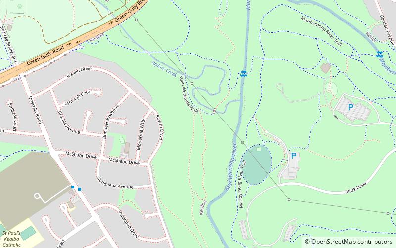
Steele Creek Trail, Melbourne
Map
Facts and practical information
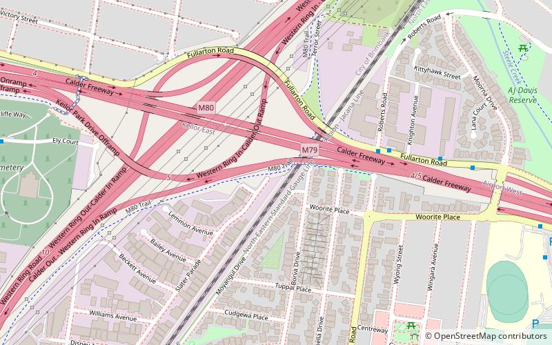
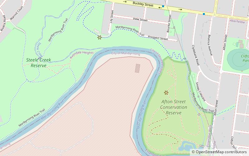
The Steele Creek Trail is a shared use path for cyclists and pedestrians, which follows Steele Creek in the Outer North Western suburbs of Keilor Park, Keilor East, Tullamarine, Airport West, Melbourne Airport, Avondale heights, Essendon West and Niddrie in Melbourne. ()
Coordinates: 37°43'44"S, 144°51'46"E
Address
Moonee Valley (Keilor East)Melbourne
ContactAdd
Social media
Add
Getting there by public transportation
Public transportation stops near this location
- Bus
 Bus
Bus
- Calculate routeKnighton Avenue/Fullarton Road 6 min walk
- Calculate routeMoorna Drive/Fullarton Road 9 min walk
- Calculate routeSwan Street/Erebus Street 9 min walk
- Calculate routePenleigh & Essendon Grammar School/Keilor Road 12 min walk
Maps Melbourne TramsMaps
 Victoria Trains
Melbourne TramsMapsVictoria TrainsDay trips


Frequently Asked Questions (FAQ)
How to get to Steele Creek Trail by public transport?
The nearest stations to Steele Creek Trail:
Bus
Bus
- Knighton Avenue/Fullarton Road • Lines: 465, 476 (6 min walk)
- Moorna Drive/Fullarton Road • Lines: 465, 476 (9 min walk)