Keilor Botanic Gardens, Melbourne

Gallery (2)
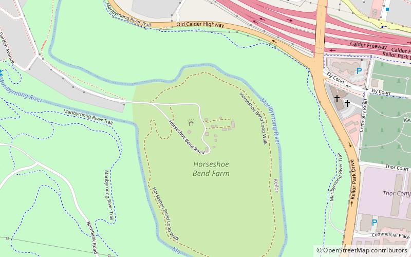
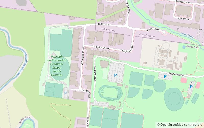
Map
Map
Gallery
Facts and practical information
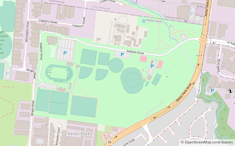
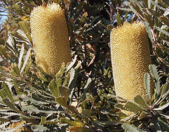
Keilor Botanic Gardens, located in Melbourne's north-west in the suburb of Keilor Park, is entirely devoted to Australian native flora. Created in 1982, it covers 10 hectares. It is managed by the City of Brimbank as part of Keilor Park Reserve and Botanic Gardens. ()
Elevation: 243 ft a.s.l.Coordinates: 37°42'55"S, 144°51'11"E
Address
Stadium DrBrimbank (Keilor Park)Melbourne
ContactAdd
Social media
Add
Getting there by public transportation
Public transportation stops near this location
- Bus
 Bus
Bus
- Calculate routeSpence Street/Fosters Road 10 min walk
- Calculate routeCollinson Street/Spence Street 12 min walk
- Calculate routeSwan Street/Fosters Road 16 min walk
Maps Melbourne TramsMaps
 Victoria Trains
Melbourne TramsMapsVictoria TrainsDay trips


Frequently Asked Questions (FAQ)
How to get to Keilor Botanic Gardens by public transport?
The nearest stations to Keilor Botanic Gardens:
Bus
Bus
- Spence Street/Fosters Road • Lines: 476 (10 min walk)
- Collinson Street/Spence Street • Lines: 476 (12 min walk)