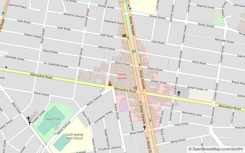
Pacific Square, Sydney
Map
Facts and practical information
Pacific Square is an indoor/outdoor shopping centre in the suburb of Maroubra in the Eastern Suburbs of Sydney. ()
Coordinates: 33°56'26"S, 151°14'17"E
Address
737 Anzac ParadeEastern Suburbs (Maroubra)Sydney
ContactAdd
Social media
Add
Getting there by public transportation
Public transportation stops near this location
- Bus
- Light rail
 Bus
Bus
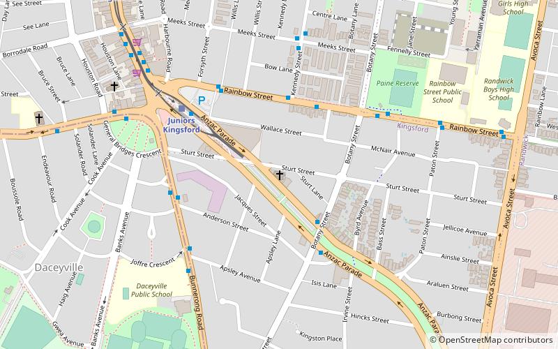
- Calculate routeWestfield Eastgardens Upper Level 19 min walk
- Calculate routeKingsford, Rainbow Street nr Avoca Street 27 min walk
- Calculate routeJuniors Kingsford 31 min walk
Maps Sydney TrainsMaps
 Sydney Light RailMaps
 Sydney Ferries
Sydney TrainsMapsSydney Light RailMapsSydney FerriesDay trips


Frequently Asked Questions (FAQ)
Which popular attractions are close to Pacific Square?
Nearby attractions include Sydney/Maroubra, Sydney (7 min walk), Maroubra Junction, Sydney (15 min walk).
How to get to Pacific Square by public transport?
The nearest stations to Pacific Square:
Bus
Light rail
Bus
- Westfield Eastgardens Upper Level • Lines: 301, 302 (19 min walk)
- Kingsford, Rainbow Street nr Avoca Street • Lines: 418 (27 min walk)
Light rail
- Juniors Kingsford • Lines: L3 (31 min walk)