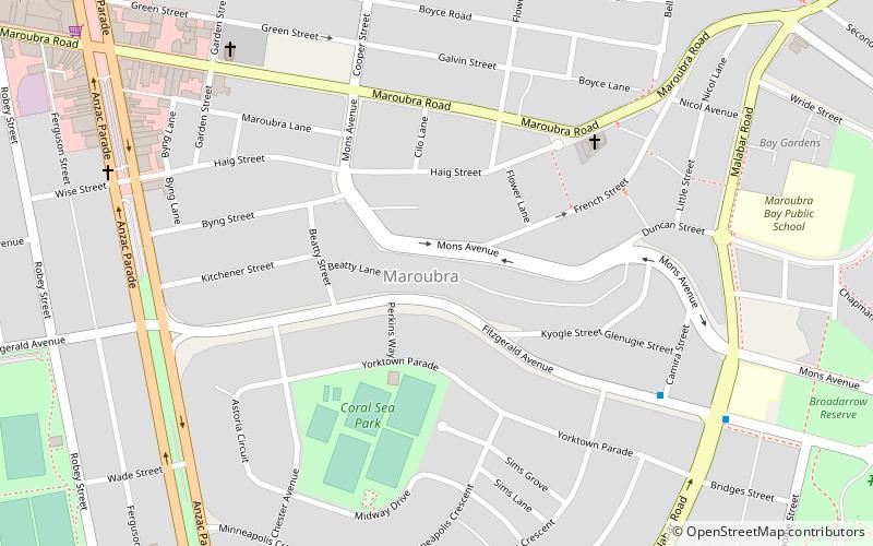
Maroubra Junction, Sydney

Gallery (1)
Map
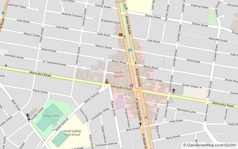
Map
Facts and practical information
Coordinates: 33°56'43"S, 151°14'46"E
Address
Eastern Suburbs (Maroubra)Sydney
ContactAdd
Social media
Add
Getting there by public transportation
Public transportation stops near this location
- Bus
 Bus
Bus
- Calculate routeWestfield Eastgardens Upper Level 29 min walk
Maps Sydney TrainsMaps
 Sydney Light RailMaps
 Sydney Ferries
Sydney TrainsMapsSydney Light RailMapsSydney FerriesDay trips
Maroubra Junction – popular in the area (distance from the attraction)
Nearby attractions include: Malabar Headland, Southpoint Shopping Centre, Sydney/Maroubra, Pacific Square.


Frequently Asked Questions (FAQ)
How to get to Maroubra Junction by public transport?
The nearest stations to Maroubra Junction:
Bus
Bus
- Westfield Eastgardens Upper Level • Lines: 301, 302 (29 min walk)