169 Mary Street, Brisbane
Map

Map

Facts and practical information
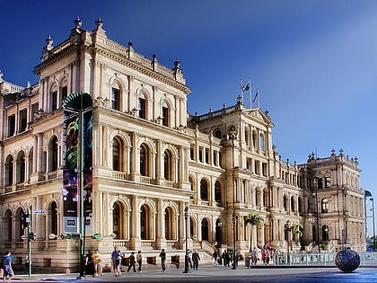
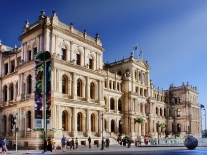
169 Mary Street is a heritage-listed warehouse at 169 Mary Street, Brisbane CBD, City of Brisbane, Queensland, Australia. It was designed by Richard Gailey and built from 1887 to 1888 by T Game. It is also known as Coal Board Building. It was added to the Queensland Heritage Register on 21 October 1992. ()
Coordinates: 27°28'15"S, 153°1'46"E
Address
Brisbane CityBrisbane
ContactAdd
Social media
Add
Day trips
169 Mary Street – popular in the area (distance from the attraction)
Nearby attractions include: Queen Street Mall, QueensPlaza, The Myer Centre, Brisbane Arcade.
Frequently Asked Questions (FAQ)
Which popular attractions are close to 169 Mary Street?
Nearby attractions include Waterfront Place, Brisbane (2 min walk), Metro Arts, Brisbane (2 min walk), Mary Street, Brisbane (3 min walk), Charlotte Street, Brisbane (4 min walk).
How to get to 169 Mary Street by public transport?
The nearest stations to 169 Mary Street:
Bus
Ferry
Train
Bus
- Charlotte Street Stop 52 near Edward St • Lines: P205 (3 min walk)
- Eagle Street Stop 153 • Lines: N100, N339 (3 min walk)
Ferry
- Eagle Street Pier Ferry Terminal • Lines: Chop-400, Xrvr-400 (5 min walk)
- Thornton Street Ferry Terminal • Lines: Chop-400, Xrvr-400 (8 min walk)
Train
- Central (11 min walk)
- Roma Street (21 min walk)


