Shire of Bundanba, Ipswich
Facts and practical information
The Shire of Bundanba, nestled within the city of Ipswich in Queensland, Australia, holds a rich layer of the region's history. Although it no longer exists as an independent entity, having been amalgamated into the City of Ipswich in the early 20th century, its legacy continues to shape the community.
Established in the late 19th century, the Shire of Bundanba was a local government area that served as an administrative region for the surrounding agricultural and coal-mining communities. The shire's establishment was a reflection of the growth and development in the area, driven by the burgeoning industries of the time.
Today, the area that once constituted the Shire of Bundanba is an integral part of Ipswich, a city known for its rich heritage and cultural diversity. While the shire itself may have been absorbed, its historical significance is remembered through preserved landmarks and the enduring spirit of the local community.
Visitors to Ipswich can explore the remnants of the Shire of Bundanba's past through various heritage-listed sites, such as historic homes, churches, and public buildings that tell the story of the region's development. The area's history is a testament to the evolution of local governance in Queensland and the pivotal role that such regions have played in shaping the state's identity.
BundambaIpswich
- Bus
- Train
 Bus
Bus
- Calculate routeBrisbane Road at Bundamba Uniting Church 1 min walk
- Calculate routeLindsay Street near Bergins Hill Road 4 min walk
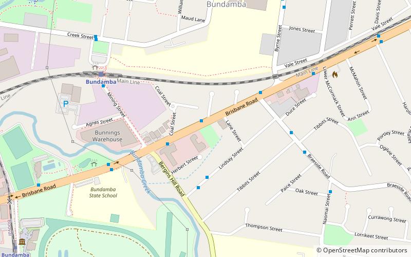
- Calculate routeBundamba 8 min walk
- Calculate routeRacecourse 15 min walk
- Calculate routeEbbw Vale 23 min walk


Frequently Asked Questions (FAQ)
How to get to Shire of Bundanba by public transport?
Bus
- Brisbane Road at Bundamba Uniting Church • Lines: 500, 502 (1 min walk)
- Lindsay Street near Bergins Hill Road • Lines: 502 (4 min walk)
Train
- Bundamba (8 min walk)
- Racecourse (15 min walk)