Mana Bar, Brisbane
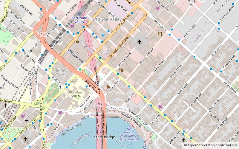
Map
Facts and practical information
Mana Bar was the first Australian cocktail bar and video gaming lounge located in Brisbane, Australia within its biggest night-life and entertainment district, Fortitude Valley. The bar held its opening event on 20 March 2010. The bar allowed visitors to play current generation gaming consoles free of charge while enjoying video game themed drinks. ()
Coordinates: 27°27'35"S, 153°2'13"E
Address
Fortitude ValleyBrisbane
ContactAdd
Social media
Add
Getting there by public transportation
Public transportation stops near this location
- Bus
- Train
- Ferry
 Bus
Bus
- Calculate routeAnn Street Stop 216 at Valley Island 5 min walk
- Calculate routeWarner Street Stop 204 near Ann Street 5 min walk
- Calculate routeWickham Street Stop 229 near Warner St 7 min walk
- Calculate routeFortitude Valley 9 min walk
- Calculate routeExhibition 20 min walk
- Calculate routeCentral 21 min walk
- Calculate routeBowen Hills 26 min walk
- Calculate routeHolman Street Ferry Terminal 12 min walk
- Calculate routeEagle Street Pier Ferry Terminal 19 min walk
- Calculate routeThornton Street Ferry Terminal 21 min walk
- Calculate routeDockside Ferry Terminal 23 min walk
Day trips
Mana Bar – popular in the area (distance from the attraction)
Nearby attractions include: Fortitude Valley, Story Bridge, McWhirters, Brunswick Street Mall.


Frequently Asked Questions (FAQ)
Which popular attractions are close to Mana Bar?
Nearby attractions include Judith Wright Arts Centre, Brisbane (1 min walk), Fortitude Valley Primitive Methodist Church, Brisbane (3 min walk), St Patrick's Church, Brisbane (5 min walk), Howard Smith Wharves, Brisbane (6 min walk).
How to get to Mana Bar by public transport?
The nearest stations to Mana Bar:
Bus
Train
Ferry
Bus
- Ann Street Stop 216 at Valley Island • Lines: 470 (5 min walk)
- Warner Street Stop 204 near Ann Street • Lines: 204 (5 min walk)
Train
- Fortitude Valley (9 min walk)
- Exhibition (20 min walk)
Ferry
- Holman Street Ferry Terminal • Lines: Chop-400, Xrvr-400 (12 min walk)
- Eagle Street Pier Ferry Terminal • Lines: Chop-400, Xrvr-400 (19 min walk)