Trek Zone

Melbourne Sandbelt, Melbourne

#681 among attractions in Melbourne

Neighbourhood
Melbourne Sandbelt location map
Map

Facts and practical information
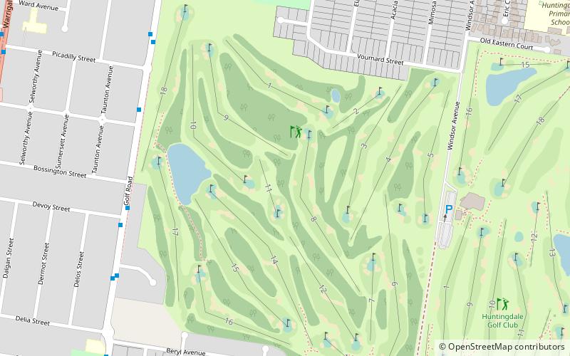
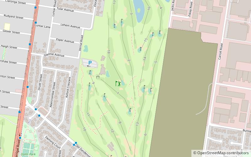
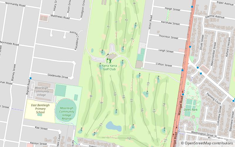
Coordinates: 37°58'26"S, 145°7'6"E
Address

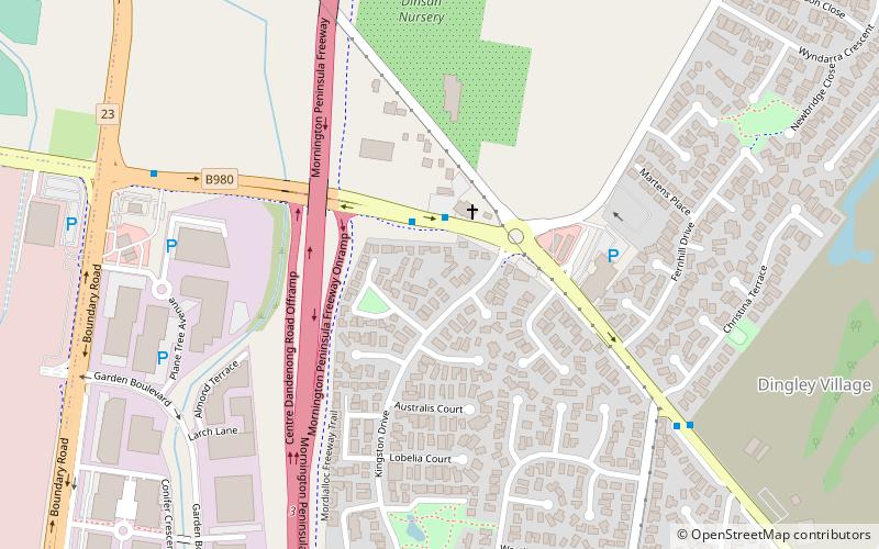
Kingston (Dingley Village)Melbourne Australia

ContactAdd
Social media
Add
Day trips

Melbourne Sandbelt – popular in the area (distance from the attraction)

Nearby attractions include: Westfield Southland, Parkmore Shopping Centre, Australian National Aviation Museum, Metropolitan Golf Club.

  • westfield southland melbourne3.7 miW
  • parkmore shopping centre3.2 miSE
  • australian national aviation museum1.5 miW
  • metropolitan golf club melbourne location map
    4.2 miN
  • commonwealth golf club melbourne location map
    3.4 miNW
  • karkarook park melbourne2.9 miNW
  • yarra yarra golf club melbourne location map
    3.7 miNW
  • springvale botanical cemetery3.9 miNE
  • hutton westfold observatory melbourne location map
    4.4 miN
  • haileybury chapel2 miSE
  • monash university melbourne4.7 miN

Where to next? Visit victoria Victoria region page or discover the top tourist attractions in Australia.