Springvale Botanical Cemetery
#357 among destinations in Australia


Facts and practical information
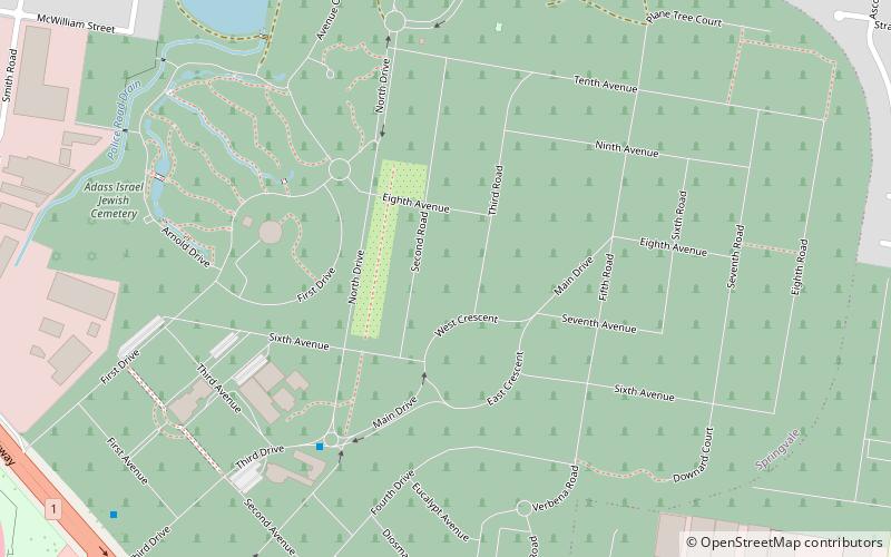
The Springvale Botanical Cemetery is the largest crematorium and memorial park in Victoria, Australia. It is located in Springvale, in the south-eastern suburbs of Melbourne. ()
Springvale Botanical Cemetery – popular in the area (distance from the attraction)
Nearby attractions include: Parkmore Shopping Centre, Albanian Mosque, Victoria Police Academy, Myuna Farm.
 Shopping, Shopping centre
Parkmore Shopping Centre
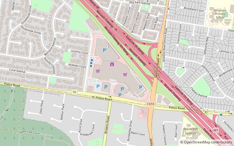
88 min walk • Nestled in the bustling suburb of Keysborough in Melbourne, Australia, Parkmore Shopping Centre is a vibrant hub of retail and community activity. This shopping center, with its wide array of stores and services, caters to the diverse needs of the local population...
 Mosque
Albanian Mosque, Churchill National Park
99 min walk • The Albanian Mosque, also known as the Albanian Islamic Centre Mosque and Albanian Sakie Islamic Centre, is a mosque located in Dandenong, a south eastern suburb of Melbourne, Victoria, Australia. It is one of the earliest mosques in the country.
 Church, Police
Victoria Police Academy
89 min walk • The Victoria Police Academy is the main induction training establishment for the Victoria Police. It is located at 1 View Mount Road, in Glen Waverley, in the south-eastern suburbs of Melbourne, Victoria, Australia. The grounds encompass 16 hectares.
 Farm
FarmMyuna Farm, Melbourne
107 min walk • Myuna Farm is a public community farm where adults and children can experience hands on contact with farm animals and native wildlife. Situated in Doveton, Victoria, Australia alongside the Dandenong Creek.
 Park
ParkJells Park
83 min walk • Jells Park is a public park in Wheelers Hill, a suburb in south-east Melbourne, Victoria, Australia. The park opened on 30 April 1976 and is named after Joseph Jell, a cattle grazier who worked in the area in the mid-late 1800s.
 Area
AreaMelbourne/Dandenong, Melbourne
90 min walk • Dandenong is a suburb of Melbourne, 35 km south-east from the CBD. Situated on the northwest bank of the Dandenong Creek, it is 21.6 km from the namesake Dandenong Ranges to its northeast and completely unrelated in both location and nature.
 Shopping, Shopping centre
Waverley Gardens Shopping Centre
21 min walk • Waverley Gardens, is a shopping centre with approximately 110 shops, located 25 km south-east of Melbourne, Australia, in the suburb of Mulgrave, Victoria.
 Cycling, Bike path
Blind Creek Trail
105 min walk • The Blind Creek Trail, in the outer eastern suburbs of Melbourne, in the Australian state of Victoria, is a shared-use path for cyclists and pedestrians, which follows the Blind Creek from the Dandenong Creek Trail in Wantirna South to the Ringwood - Belgrave Rail Trail in Boronia.
 Museum, Observatories and planetariums
Hutton-Westfold Observatory, Melbourne
88 min walk • Hutton-Westfold Observatory is an observatory for Monash University and is currently located on Martin St near the Clayton Campus, in Melbourne, Victoria, Australia. It opened to the public on 23 March 2009.
 Church
Haileybury Chapel
103 min walk • The Haileybury Chapel, Melbourne is the chapel of Haileybury College and Haileybury Girls' College, located at the College's Keysborough campus in south-eastern Melbourne, Victoria, Australia.
 Universities and schools
Monash University, Melbourne
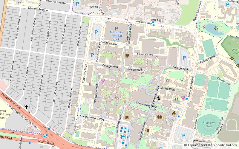
84 min walk • Monash University is a public research university based in Melbourne, Victoria, Australia. Named for prominent World War I general Sir John Monash, it was founded in 1958 and is the second oldest university in the state.
