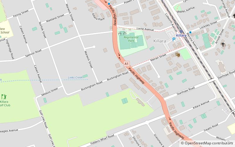
West Killara, Sydney
Map
Facts and practical information
West Killara is a locality in the suburb of Killara, a suburb located on the Upper North Shore Sydney, in the state of New South Wales, Australia. It is located 14 kilometres north-west of the Sydney Central Business District in the local government area of Ku-ring-gai Council. ()
Coordinates: 33°46'5"S, 151°9'25"E
Address
Ku-ring-gai (Killara)Sydney
ContactAdd
Social media
Add
Getting there by public transportation
Public transportation stops near this location
- Bus
- Train
 Bus
Bus
- Calculate routeKillara 9 min walk
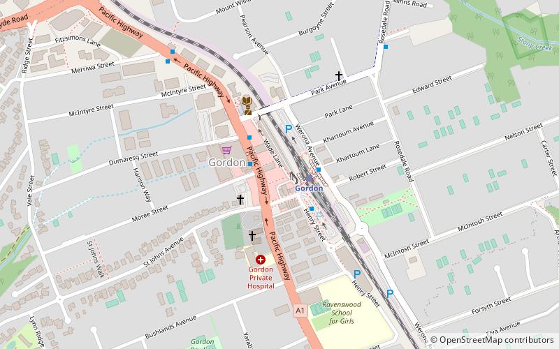
- Calculate routeGordon 22 min walk
- Calculate routeLindfield 23 min walk
- Calculate routeRoseville 42 min walk
- Calculate routeGordon Interchange 21 min walk
Maps Sydney TrainsMaps
 Sydney Light RailMaps
 Sydney Ferries
Sydney TrainsMapsSydney Light RailMapsSydney FerriesDay trips


Frequently Asked Questions (FAQ)
Which popular attractions are close to West Killara?
Nearby attractions include Marian Street Theatre, Sydney (7 min walk), North Shore Synagogue, Sydney (14 min walk), Eryldene, Sydney (18 min walk), Tulkiyan, Sydney (19 min walk).
How to get to West Killara by public transport?
The nearest stations to West Killara:
Train
Bus
Train
- Killara (9 min walk)
- Gordon (22 min walk)
Bus
- Gordon Interchange (21 min walk)