Fiddens Wharf, Sydney
Map
Gallery
Facts and practical information
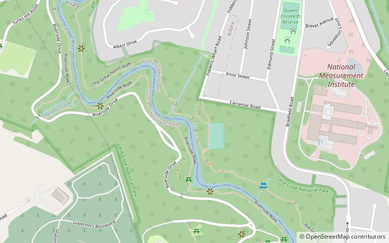
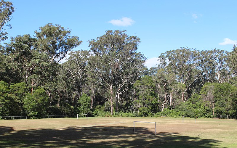
Fiddens Wharf or Killara Wharf was a former wharf on the Lane Cove River in Sydney, Australia. Named after the convict Joseph Fidden, the wharf was primarily used for the transport of timber and supplies to and from Sydney in the 19th century. It is unknown whether the original structure was a conventional wharf, or a mooring place with lines connected to a metal ring secured in a nearby rock. Fiddens was one of the three main wharves on the river. ()
Coordinates: 33°46'60"S, 151°8'41"E
Address
Ku-ring-gai (Lindfield)Sydney
ContactAdd
Social media
Add
Day trips
Fiddens Wharf – popular in the area (distance from the attraction)
Nearby attractions include: Northern Suburbs Crematorium, Macquarie Park Cemetery and Crematorium, Marian Street Theatre, Sydney/Macquarie Park.
Frequently Asked Questions (FAQ)
Which popular attractions are close to Fiddens Wharf?
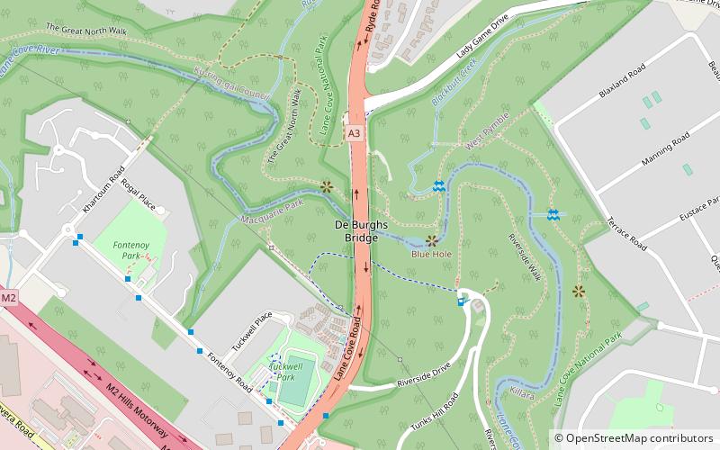
Nearby attractions include Commandment Rock, Sydney (11 min walk), Macquarie Park Cemetery and Crematorium, Sydney (15 min walk), De Burghs Bridge, Sydney (20 min walk).
How to get to Fiddens Wharf by public transport?
The nearest stations to Fiddens Wharf:
Bus
Metro
Bus
- Fontenoy Rd • Lines: 545 (17 min walk)
- Eden Park Centre • Lines: 259 (21 min walk)
Metro
- North Ryde • Lines: Sydney Metro Northwest (22 min walk)
- Macquarie Park • Lines: Sydney Metro Northwest (25 min walk)

 Sydney Trains
 Sydney Light Rail
 Sydney Ferries


