Milligan Street, Perth
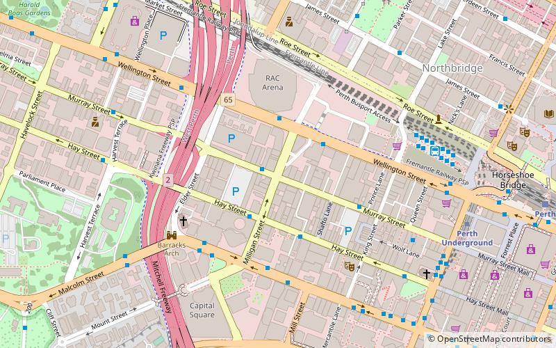
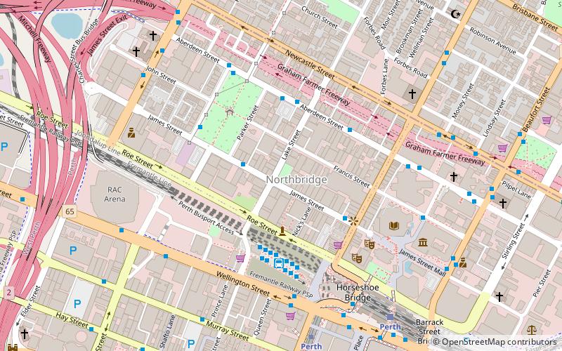
Map
Facts and practical information
Milligan Street is a street in Perth, Western Australia that runs from St Georges Terrace to north of Wellington Street. The northern section provides access to the Perth Arena carpark and Telethon Avenue; there are also dedicated Transperth bus roads connecting to the northern end, south of the Fremantle railway line. ()
Coordinates: 31°57'2"S, 115°51'8"E
Address
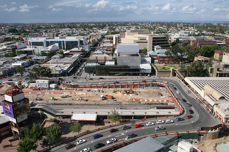
Perth CBDPerth
ContactAdd
Social media
Add
Getting there by public transportation
Public transportation stops near this location
- Bus
- Train
- Ferry
 Bus
Bus
- Calculate routeMilligan Street 1 min walk
- Calculate routeArena 3 min walk
- Calculate routeQv1 3 min walk
- Calculate routeHis Majesty's 4 min walk
- Calculate routeElizabeth Quay 13 min walk
- Calculate routePerth 13 min walk
- Calculate routeCity West 15 min walk
- Calculate routeMcIver 22 min walk
- Calculate routeElizabeth Quay Ferry Terminal 15 min walk
- Calculate routeBarrack Street Jetty 20 min walk
Day trips
Milligan Street – popular in the area (distance from the attraction)
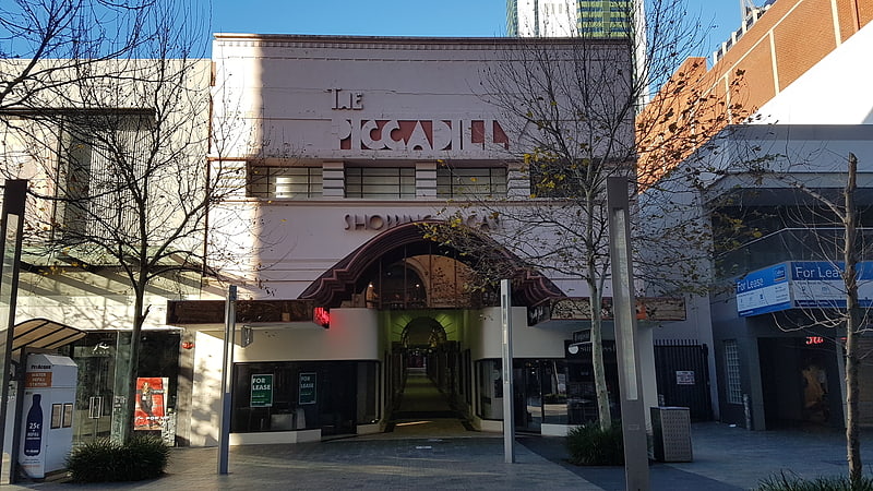
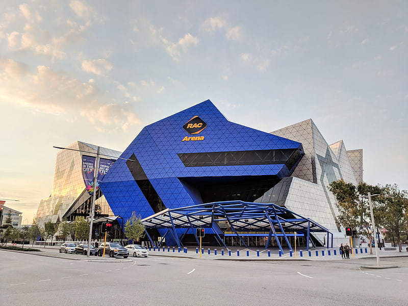
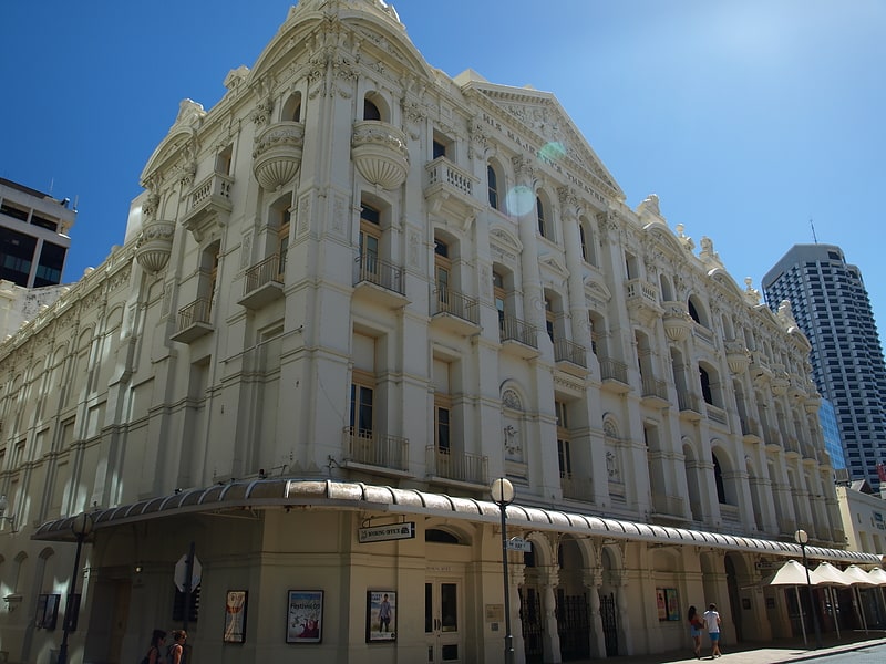
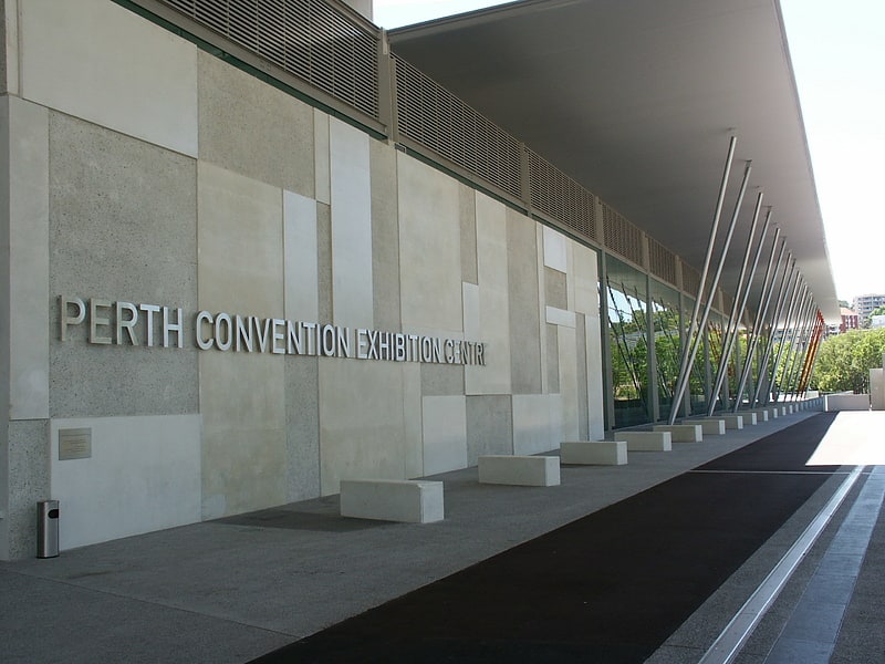
Nearby attractions include: Piccadilly Theatre and Arcade, Perth Arena, Carillon City, His Majesty's Theatre.


Frequently Asked Questions (FAQ)
Which popular attractions are close to Milligan Street?
Nearby attractions include Woodside Plaza, Perth (4 min walk), Perth Arena, Perth (5 min walk), His Majesty's Theatre, Perth (5 min walk), The Cloisters, Perth (6 min walk).
How to get to Milligan Street by public transport?
The nearest stations to Milligan Street:
Bus
Train
Ferry
Bus
- Milligan Street • Lines: 2 (1 min walk)
- Arena • Lines: 3F, 3T (3 min walk)
Train
- Elizabeth Quay (13 min walk)
- Perth (13 min walk)
Ferry
- Elizabeth Quay Ferry Terminal • Lines: Transperth Ferry - Elizabeth Qua, Transperth Ferry - Mends Street (15 min walk)
- Barrack Street Jetty • Lines: Express (20 min walk)