Alfords Point Bridge, Sydney
Map

Map

Facts and practical information
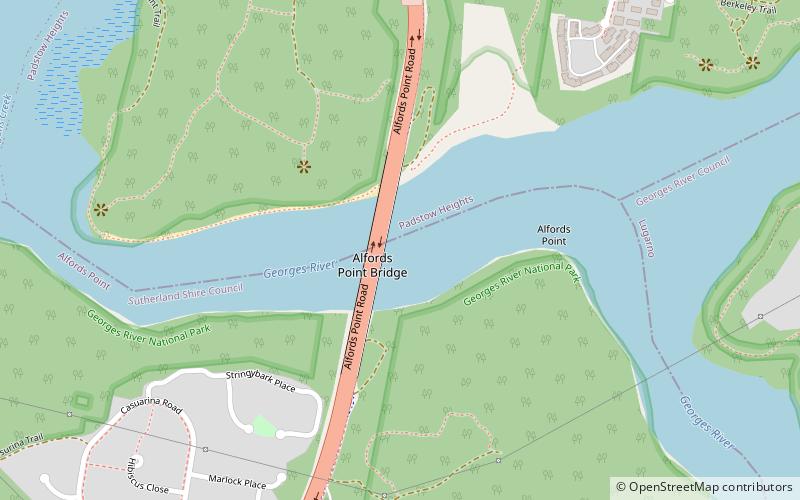
Alfords Point Bridge is a twin 445-metre-long concrete and steel box girder road bridge that carries Alford Point Road as state route A6 across the lower Georges River between Padstow Heights in the City of Bankstown and Alfords Point in the Sutherland Shire in Sydney, New South Wales, Australia. ()
Opened: 2008 (18 years ago)Length: 1460 ftWidth: 50 ftCoordinates: 33°58'39"S, 151°1'52"E
Address
Sydney
ContactAdd
Social media
Add
Day trips
Alfords Point Bridge – popular in the area (distance from the attraction)
Nearby attractions include: Oatley Park, Green Point Observatory, Moore Reserve, Oatley Pleasure Grounds.
Frequently Asked Questions (FAQ)
How to get to Alfords Point Bridge by public transport?
The nearest stations to Alfords Point Bridge:
Bus
Bus
- Clancy Street • Lines: M91 (20 min walk)
- Padstow Heights Public School • Lines: M91 (20 min walk)

 Sydney Trains
 Sydney Light Rail
 Sydney Ferries


