Parramatta Sand Body Conservation Area and Military Barracks Site, Sydney
Map
Facts and practical information
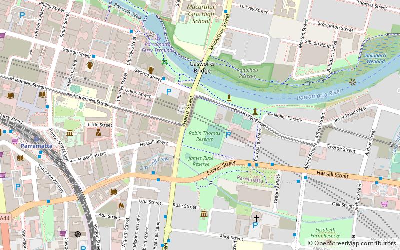
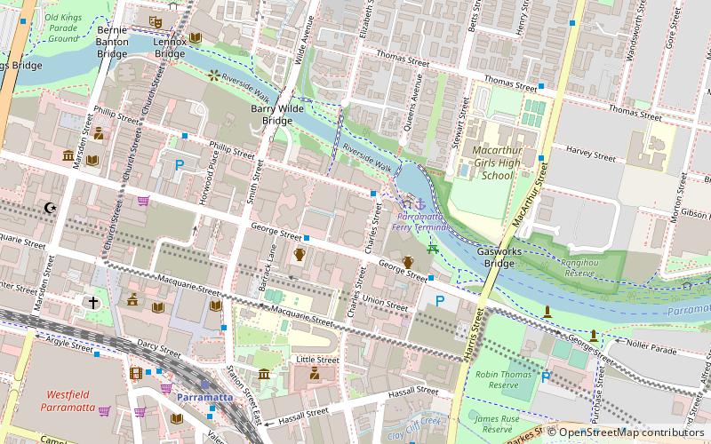
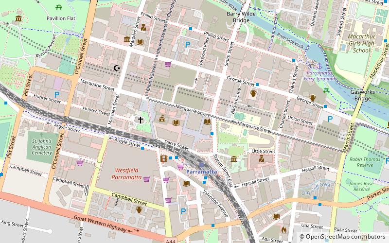
Parramatta Sand Body Conservation Area and Military Barracks Site is a heritage-listed archaeological site relating to both Aboriginal and European occupation at George and Harris Streets, Harris Park, City of Parramatta, Sydney, New South Wales, Australia. It was added to the New South Wales State Heritage Register on 8 July 2011. ()
Coordinates: 33°49'1"S, 151°0'45"E
Address
ParramattaSydney
ContactAdd
Social media
Add
Getting there by public transportation
Public transportation stops near this location
- Bus
- Train
- Ferry
 Bus
Bus
- Calculate routeHarris Street 5 min walk
- Calculate routeParramatta Wharf 8 min walk
- Calculate routeParramatta City Campus 10 min walk
- Calculate routeStand A4, Parramatta Interchange 11 min walk
- Calculate routeParramatta Ferry Terminal 7 min walk
- Calculate routeParramatta 11 min walk
- Calculate routeHarris Park 14 min walk
- Calculate routeGranville 29 min walk
Maps Sydney TrainsMaps
 Sydney Light RailMaps
 Sydney Ferries
Sydney TrainsMapsSydney Light RailMapsSydney FerriesDay trips
Parramatta Sand Body Conservation Area and Military Barracks Site – popular in the area (distance from the attraction)
Nearby attractions include: Old Government House, Westfield Parramatta, Rosehill Gardens Racecourse, Hambledon Cottage.


Frequently Asked Questions (FAQ)
Which popular attractions are close to Parramatta Sand Body Conservation Area and Military Barracks Site?
Nearby attractions include Hambledon Cottage, Sydney (5 min walk), Experiment Farm Cottage, Sydney (6 min walk), 180 George Street, Sydney (7 min walk), Perth House, Sydney (8 min walk).
How to get to Parramatta Sand Body Conservation Area and Military Barracks Site by public transport?
The nearest stations to Parramatta Sand Body Conservation Area and Military Barracks Site:
Bus
Ferry
Train
Bus
- Harris Street • Lines: 909, M92 (5 min walk)
- Parramatta Wharf • Lines: 706, 900 (8 min walk)
Ferry
- Parramatta Ferry Terminal (7 min walk)
Train
- Parramatta (11 min walk)
- Harris Park (14 min walk)