Southport Leagues Club, Gold Coast
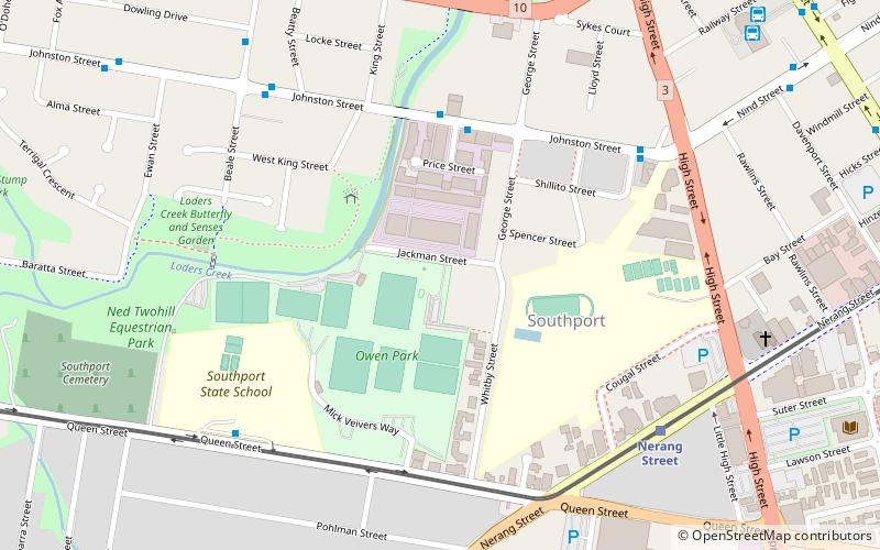
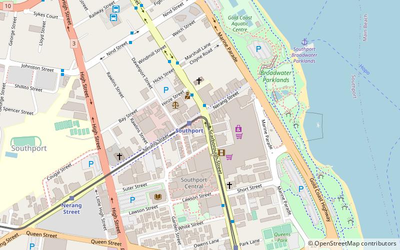
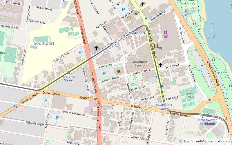
Map
Facts and practical information
The Southport Leagues Club is a rugby league club based in Southport, Queensland, Australia. The primary charter of SLCL is the promotion of Rugby league within the Gold Coast community and the operation of a profitable sporting club that reinvests in Rugby League and the local community. ()
Coordinates: 27°58'5"S, 153°24'15"E
Address
SouthportGold Coast
ContactAdd
Social media
Add
Day trips
Southport Leagues Club – popular in the area (distance from the attraction)
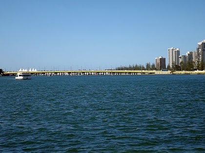
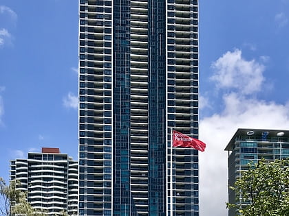
Nearby attractions include: Southport Broadwater Parklands, Sundale Bridge, Sundale Apartments, Southport.
Frequently Asked Questions (FAQ)
Which popular attractions are close to Southport Leagues Club?
Nearby attractions include Southport, Gold Coast (5 min walk), Loders Creek Community Garden, Gold Coast (6 min walk), Southport Central, Gold Coast (14 min walk), Southport Courthouse, Gold Coast (14 min walk).
How to get to Southport Leagues Club by public transport?
The nearest stations to Southport Leagues Club:
Bus
Tram
Ferry
Bus
- Johnston St near Maid St • Lines: 713 (5 min walk)
- Beale St near Dowling Dr • Lines: 713 (10 min walk)
Tram
- Nerang Street Station • Lines: G:Link (9 min walk)
- Southport Station • Lines: G:Link (15 min walk)
Ferry
- Southport Broadwater Parklands • Lines: Hopo (23 min walk)

