Coxs Creek, Sydney
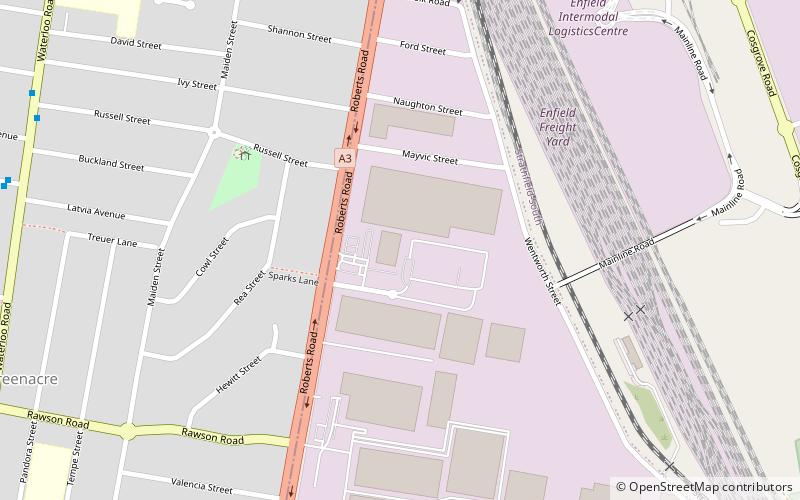
Map
Facts and practical information
Coordinates: 33°54'0"S, 151°3'60"E
Address
Bankstown (Greenacre)Sydney
ContactAdd
Social media
Add
Getting there by public transportation
Public transportation stops near this location
- Bus
 Bus
Bus
- Calculate routeReid Avenue 13 min walk
- Calculate routeWaterloo Road 13 min walk
- Calculate routeShellcote Road 15 min walk
- Calculate routeCharmaine Avenue 16 min walk
Maps Sydney TrainsMaps
 Sydney Light RailMaps
 Sydney Ferries
Sydney TrainsMapsSydney Light RailMapsSydney FerriesDay trips


Frequently Asked Questions (FAQ)
Which popular attractions are close to Coxs Creek?
Nearby attractions include Norfolk Reserve, Sydney (13 min walk), St Anne's Roman Catholic Church, Sydney (22 min walk).
How to get to Coxs Creek by public transport?
The nearest stations to Coxs Creek:
Bus
Bus
- Reid Avenue • Lines: M90 (13 min walk)
- Waterloo Road • Lines: M90 (13 min walk)