Woodstock, Sydney

Gallery (6)
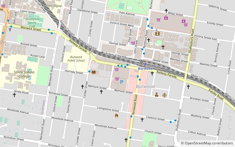
Map

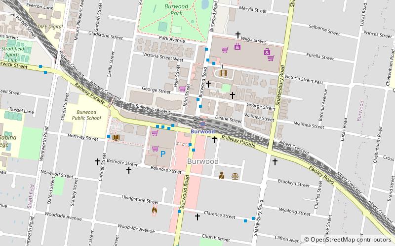
Map

Gallery
Facts and practical information
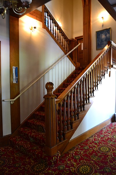
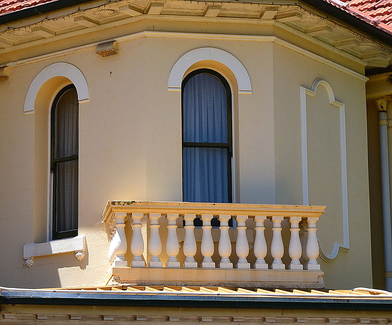
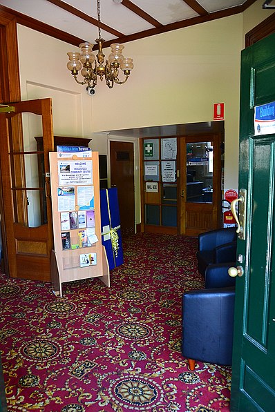
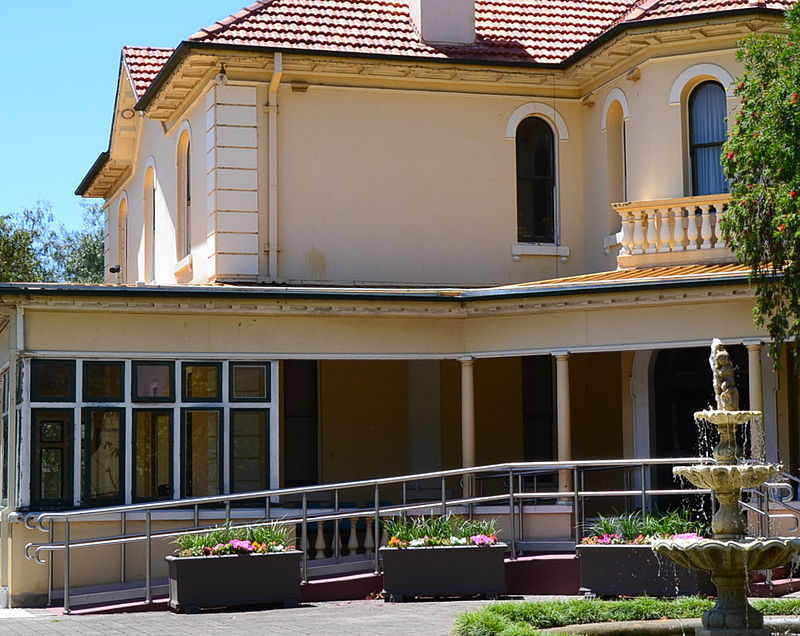
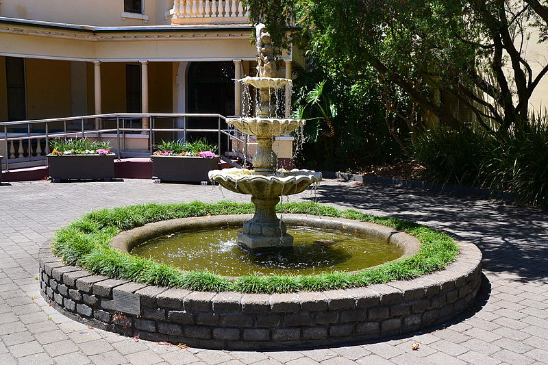
Woodstock is a heritage-listed mansion in the Sydney suburb of Burwood, New South Wales, Australia. It was built between c. 1866 and 1873 by Edwin Thomas Penfold and changed hands a number of times before being acquired by Burwood Council. During World War II the property was acquired by the Australian Government for military purposes. The Victorian Italianate villa is listed on the Australian Register of the National Estate and the Burwood Council local government heritage list. ()
Completed: 1871 (155 years ago)Elevation: 148 ft a.s.l.Coordinates: 33°52'55"S, 151°6'14"E
Getting there by public transportation
Public transportation stops near this location
- Bus
- Train
 Bus
Bus
- Calculate routeRailway Parade Burwood 7 min walk
- Calculate routeBurwood Station, Railway Parade, Stand A 9 min walk
- Calculate routeBurwood Station 10 min walk
- Calculate routeBurwood 9 min walk
- Calculate routeCroydon 18 min walk
- Calculate routeStrathfield 23 min walk
- Calculate routeHomebush 37 min walk
Maps Sydney TrainsMaps
 Sydney Light RailMaps
 Sydney Ferries
Sydney TrainsMapsSydney Light RailMapsSydney FerriesDay trips


Frequently Asked Questions (FAQ)
Which popular attractions are close to Woodstock?
Nearby attractions include Burwood rail underbridge, Sydney (9 min walk), Trinity Uniting Church, Strathfield (19 min walk), Brunyarra, Strathfield (20 min walk), Lauriston, Strathfield (20 min walk).
How to get to Woodstock by public transport?
The nearest stations to Woodstock:
Bus
Train
Bus
- Railway Parade Burwood • Lines: 410, 418 (7 min walk)
- Burwood Station, Railway Parade, Stand A • Lines: 458, 466, 525, 526, M90 (9 min walk)
Train
- Burwood (9 min walk)
- Croydon (18 min walk)