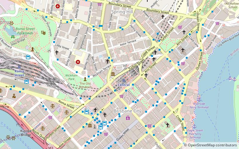
Wickham Terrace, Brisbane
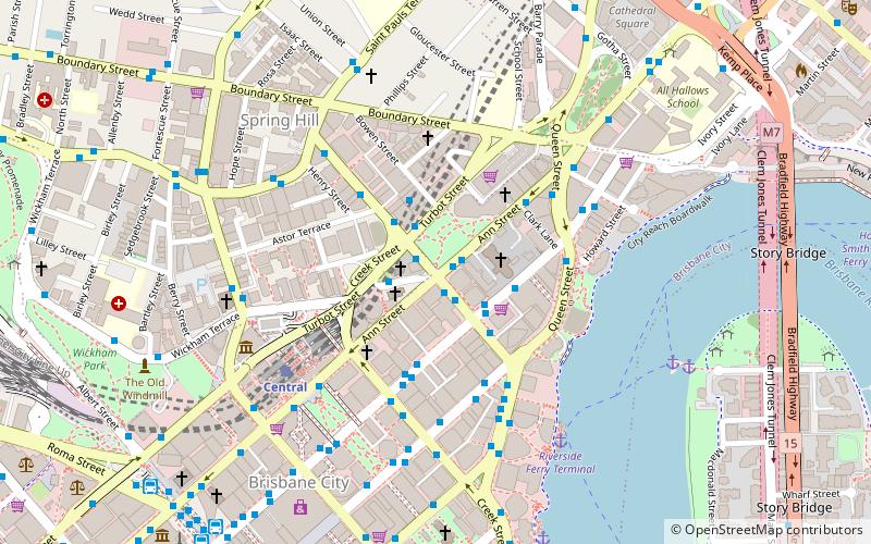
Map
Facts and practical information
Coordinates: 27°27'51"S, 153°1'44"E
Address
Brisbane CityBrisbane
ContactAdd
Social media
Add
Getting there by public transportation
Public transportation stops near this location
- Bus
- Train
- Ferry
 Bus
Bus
- Calculate routeWharf Street Stop 156 near Ann St 1 min walk
- Calculate routeTurbot Street Stop 4 near Wharf St 2 min walk
- Calculate routeWickham Terrace Stop 158 Stand A near Turbot St 2 min walk
- Calculate routeAdelaide Street Stop 33 near Wharf St 3 min walk
- Calculate routeCentral 6 min walk
- Calculate routeRoma Street 17 min walk
- Calculate routeFortitude Valley 17 min walk
- Calculate routeExhibition 27 min walk
- Calculate routeHolman Street Ferry Terminal 8 min walk
- Calculate routeEagle Street Pier Ferry Terminal 9 min walk
- Calculate routeThornton Street Ferry Terminal 15 min walk
- Calculate routeNorth Quay 1 19 min walk
Day trips
Wickham Terrace – popular in the area (distance from the attraction)
Nearby attractions include: QueensPlaza, Wintergarden, MacArthur Central, Anzac Square.


Frequently Asked Questions (FAQ)
Which popular attractions are close to Wickham Terrace?
Nearby attractions include St John's Cathedral, Brisbane (2 min walk), All Saints Anglican Church, Brisbane (2 min walk), Church House, Brisbane (3 min walk), Masonic Temple, Brisbane (3 min walk).
How to get to Wickham Terrace by public transport?
The nearest stations to Wickham Terrace:
Bus
Train
Ferry
Bus
- Wharf Street Stop 156 near Ann St • Lines: 471, 475, 476, 50 (AC-wise) (1 min walk)
- Turbot Street Stop 4 near Wharf St • Lines: P331 (2 min walk)
Train
- Central (6 min walk)
- Roma Street (17 min walk)
Ferry
- Holman Street Ferry Terminal • Lines: Chop-400, Xrvr-400 (8 min walk)
- Eagle Street Pier Ferry Terminal • Lines: Chop-400, Xrvr-400 (9 min walk)