Turbot Street, Brisbane

Map
Facts and practical information
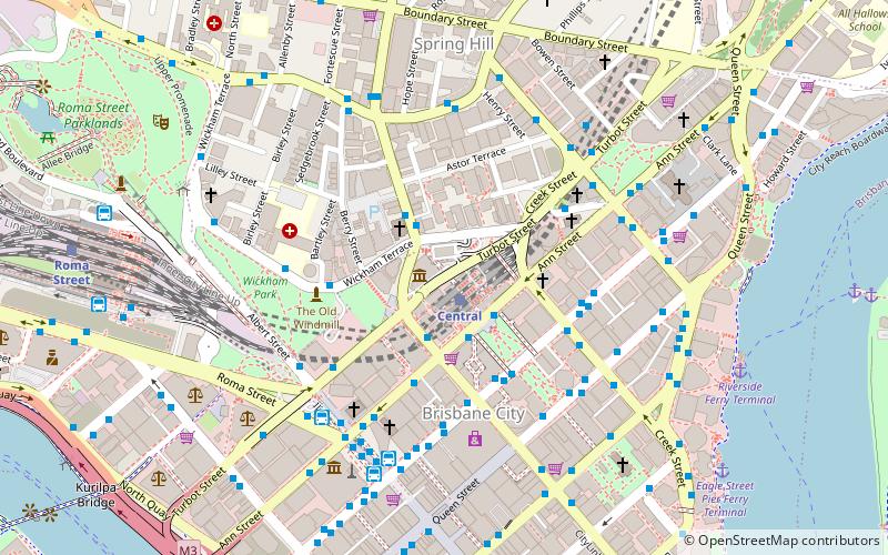
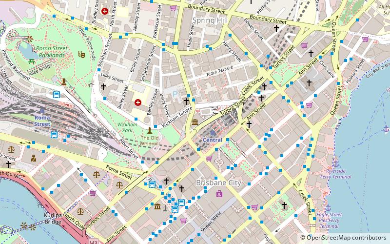
Turbot Street runs parallel to Ann Street and is on the northern side of the Brisbane CBD in Queensland, Australia. It is a major thoroughfare, linking as a three-to-five lane one-way street with the Riverside Expressway in the southwest to the suburb of Fortitude Valley in the northeast; address numbers run the same direction. It is a one-way pair with Ann Street. ()
Coordinates: 27°27'56"S, 153°1'32"E
Address
Spring HillBrisbane
ContactAdd
Social media
Add
Day trips
Turbot Street – popular in the area (distance from the attraction)
Nearby attractions include: Queen Street Mall, QueensPlaza, Brisbane Arcade, Wintergarden.
Frequently Asked Questions (FAQ)
Which popular attractions are close to Turbot Street?
Nearby attractions include Museum of Lands, Brisbane (1 min walk), Shrine of Remembrance, Brisbane (2 min walk), Baptist City Tabernacle, Brisbane (2 min walk), St Andrew's Uniting Church, Brisbane (3 min walk).
How to get to Turbot Street by public transport?
The nearest stations to Turbot Street:
Train
Bus
Ferry
Train
- Central (1 min walk)
- Roma Street (12 min walk)
Bus
- Upper Edward Street Stop 140 near Wickham Tce • Lines: 372, P331 (2 min walk)
- Edward Street Stop 141 near Ann St • Lines: 372, 470, P331 (2 min walk)
Ferry
- Eagle Street Pier Ferry Terminal • Lines: Chop-400, Xrvr-400 (11 min walk)
- Holman Street Ferry Terminal • Lines: Chop-400, Xrvr-400 (13 min walk)


