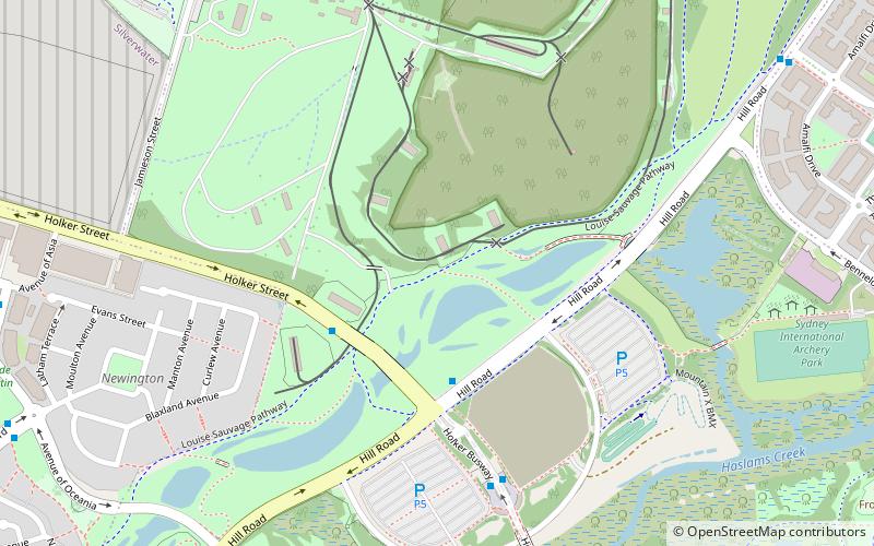
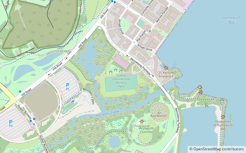
Louise Sauvage Pathway, Sydney
Map
Facts and practical information
Located alongside the suburb of Newington, New South Wales, and named in honour of Australian paralympic wheelchair racer Louise Sauvage, the Pathway is the longest continuous section of pathway in Sydney Olympic Park. As such, the pathway is suitable for walking and pushbikes, as well as wheelchairs. ()
Elevation: 20 ft a.s.l.Coordinates: 33°49'59"S, 151°3'56"E
Address
Auburn (Homebush Bay)Sydney
ContactAdd
Social media
Add
Getting there by public transportation
Public transportation stops near this location
- Bus
- Train
- Ferry
 Bus
Bus
- Calculate routeHill Road at holker street 4 min walk
- Calculate routeHolker St after Hill Rd 4 min walk
- Calculate routeStromboli Strait 12 min walk
- Calculate routeAvenue of Africa before Avenue of Asia 14 min walk
- Calculate routeOlympic Park 25 min walk
- Calculate routeConcord West 40 min walk
- Calculate routeSydney Olympic Park 28 min walk
Maps Sydney TrainsMaps
 Sydney Light RailMaps
 Sydney Ferries
Sydney TrainsMapsSydney Light RailMapsSydney FerriesDay trips


Frequently Asked Questions (FAQ)
Which popular attractions are close to Louise Sauvage Pathway?
Nearby attractions include Blaxland Riverside Park, Sydney (16 min walk), Brickpit Ring Walk, Sydney (17 min walk), George Kendall Riverside Park, Sydney (21 min walk).
How to get to Louise Sauvage Pathway by public transport?
The nearest stations to Louise Sauvage Pathway:
Bus
Train
Ferry
Bus
- Hill Road at holker street • Lines: 526 (4 min walk)
- Holker St after Hill Rd • Lines: 526 (4 min walk)
Train
- Olympic Park (25 min walk)
- Concord West (40 min walk)
Ferry
- Sydney Olympic Park • Lines: F3 (28 min walk)