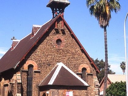
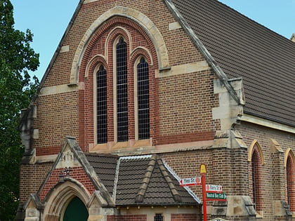
North Sydney, Sydney
Map
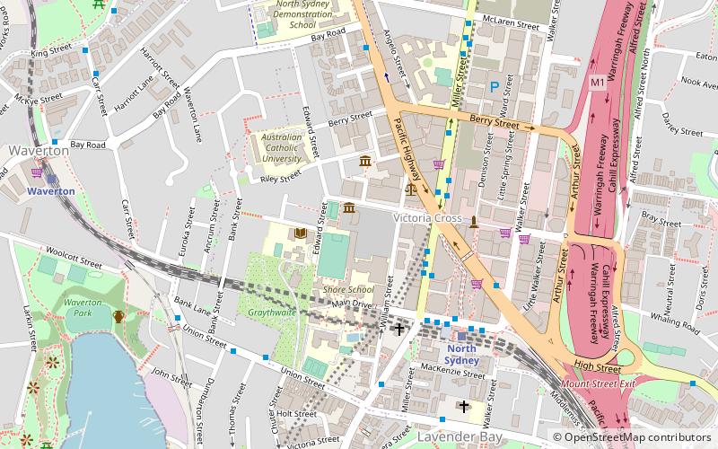
Map

Facts and practical information
North Sydney is a suburb and major commercial district on the Lower North Shore of Sydney, Australia. North Sydney is located 3 kilometres north of the Sydney central business district and is the administrative centre for the local government area of North Sydney Council. ()
Address
North SydneySydney
ContactAdd
Social media
Add
Day trips
North Sydney – popular in the area (distance from the attraction)
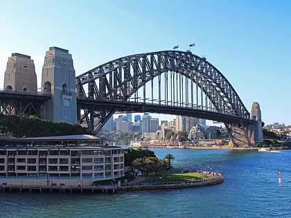
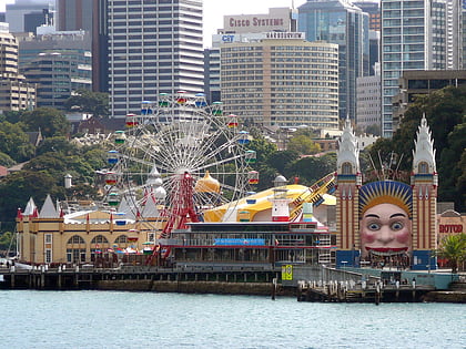
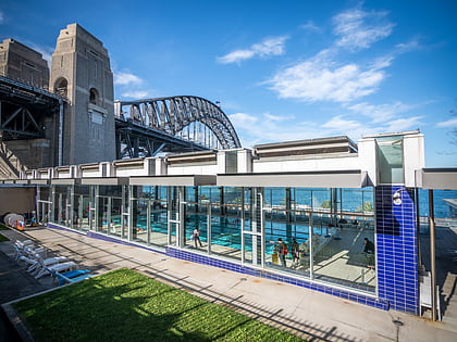
Nearby attractions include: Sydney Harbour Bridge, Luna Park, North Sydney Olympic Pool, North Sydney Oval.
Frequently Asked Questions (FAQ)
Which popular attractions are close to North Sydney?
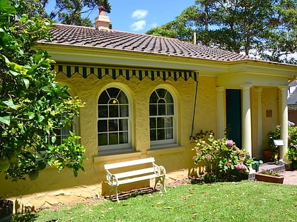
Nearby attractions include St. Mary MacKillop, Sydney (1 min walk), Coca-Cola Place, Upper North Shore (2 min walk), North Sydney Post Office, Upper North Shore (3 min walk), Don Bank Museum, Upper North Shore (3 min walk).
How to get to North Sydney by public transport?
The nearest stations to North Sydney:
Bus
Train
Ferry
Bus
- Victoria Cross • Lines: 200, 290 (3 min walk)
- Gas Works Numbers 1 and 2 • Lines: 200, 290 (6 min walk)
Train
- North Sydney (6 min walk)
- Waverton (11 min walk)
Ferry
- McMahons Point Wharf • Lines: F3, F4 (18 min walk)
- Milsons Point Wharf • Lines: F3, F4 (20 min walk)

 Sydney Trains
 Sydney Light Rail
 Sydney Ferries