M80 Trail, Melbourne

Gallery (2)
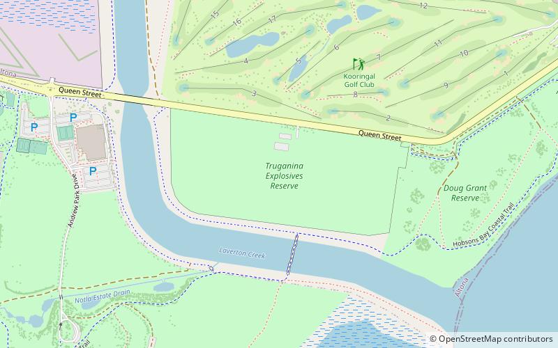
Map
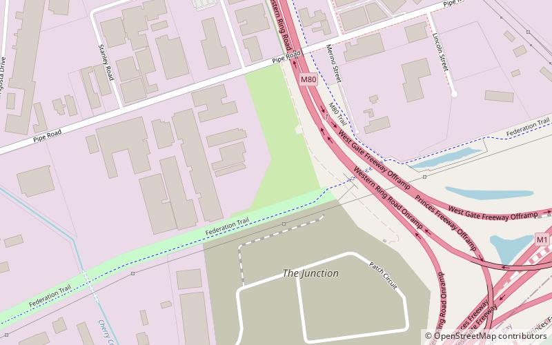
Map
Gallery
Facts and practical information
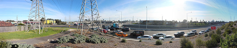
The M80 Trail is a shared use path for cyclists and pedestrians that bridges the northern suburbs and follows the Western Ring Road/Metropolitan Ring Road freeway in Melbourne, Australia. It intercepts many other paths making possible a large variety of circuits for the recreational cyclist. ()
Coordinates: 37°49'30"S, 144°48'36"E
Address
Wyndham (Laverton North)Melbourne
ContactAdd
Social media
Add
M80 Trail Public Transportation
Maps Melbourne TramsMaps
 Victoria Trains
Melbourne TramsMapsVictoria TrainsDay trips