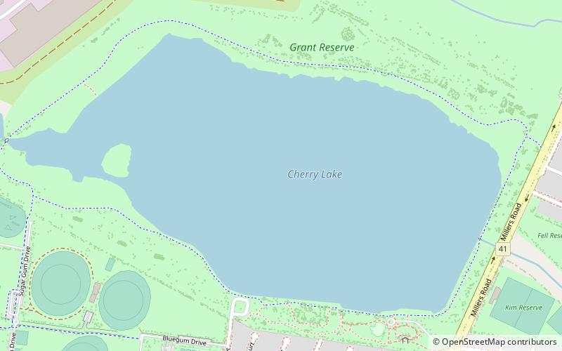
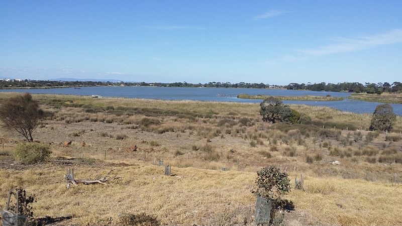
Cherry Lake, Melbourne

Gallery (2)
Map
Map
Gallery
Facts and practical information
Cherry Lake is part of historical coastal wetlands in Altona, a suburb of Melbourne, Australia. The wetlands were converted to a lake with construction of retaining walls, levees, and flow channels. The lake and surrounding reserve is an important wildlife habitat and popular recreational destination. ()
Average depth: 3 ftElevation: 3 ft a.s.l.Coordinates: 37°51'32"S, 144°50'6"E
Address
Hobsons Bay (Altona)Melbourne
ContactAdd
Social media
Add
Getting there by public transportation
Public transportation stops near this location
- Bus
- Train
 Bus
Bus
- Calculate routeRailway Street North 16 min walk
- Calculate routeAltona Station 17 min walk
- Calculate routeAltona Park & Ride 25 min walk
- Calculate routeGrieve Parade / Blyth Street 30 min walk
- Calculate routeAltona 17 min walk
- Calculate routeSeaholme 18 min walk
- Calculate routeWestona 32 min walk
Maps Melbourne TramsMaps
 Victoria Trains
Melbourne TramsMapsVictoria TrainsDay trips


Frequently Asked Questions (FAQ)
How to get to Cherry Lake by public transport?
The nearest stations to Cherry Lake:
Bus
Train
Bus
- Railway Street North • Lines: 903 (16 min walk)
- Altona Station • Lines: 903, Bus 903 (17 min walk)
Train
- Altona (17 min walk)
- Seaholme (18 min walk)