Syd Einfeld Drive, Sydney
Map

Map

Facts and practical information
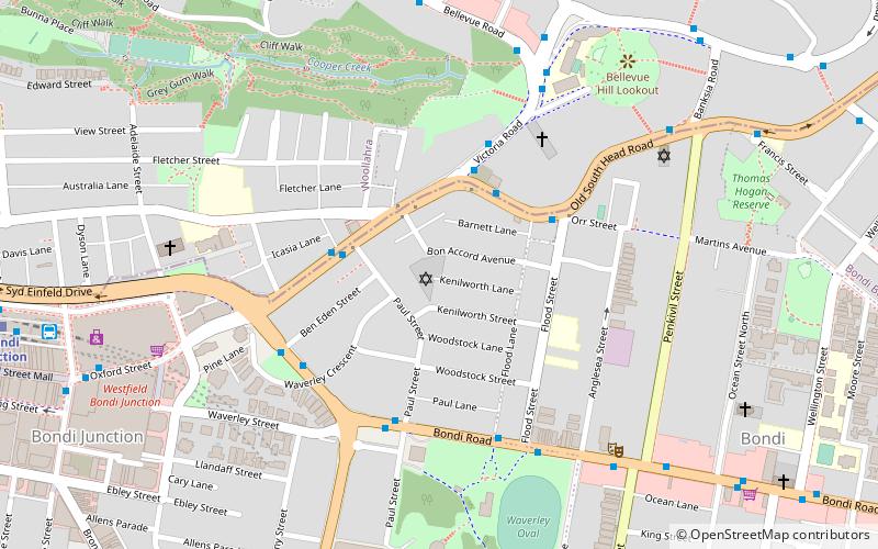
Syd Einfeld Drive is a six lane, partially elevated, 80 km/h dual carriageway in Sydney, Australia. It was built as the Bondi Junction Bypass to bypass a section of Oxford Street through Bondi Junction from Woollahra to Old South Head Road. ()
Coordinates: 33°53'24"S, 151°14'51"E
Address
Eastern Suburbs (Woollahra)Sydney
ContactAdd
Social media
Add
Day trips
Syd Einfeld Drive – popular in the area (distance from the attraction)
Nearby attractions include: Centennial Park, Westfield Bondi Junction, Mary Immaculate Catholic Church, Fox Studios Australia.
Frequently Asked Questions (FAQ)
Which popular attractions are close to Syd Einfeld Drive?
Nearby attractions include Woollahra Reservoir, Sydney (10 min walk), Waimea House, Sydney (10 min walk), Emanuel Synagogue, Sydney (10 min walk), Centennial Park Reservoir, Sydney (14 min walk).
How to get to Syd Einfeld Drive by public transport?
The nearest stations to Syd Einfeld Drive:
Bus
Train
Light rail
Bus
- Bondi Junction Station, Grafton St, Stand Q • Lines: 379 (2 min walk)
- Stand L Bondi Junction Interchange • Lines: 418 (3 min walk)
Train
- Bondi Junction (3 min walk)
- Edgecliff (26 min walk)
Light rail
- Royal Randwick • Lines: L2 (39 min walk)

 Sydney Trains
 Sydney Light Rail
 Sydney Ferries


