25–35 Power Street, Melbourne
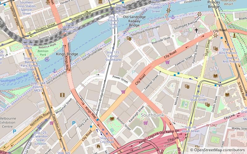
Map
Facts and practical information
25–35 Power Street is an approved mixed–use skyscraper in the Southbank precinct of Melbourne, Victoria, Australia. ()
Coordinates: 37°49'24"S, 144°57'43"E
Address
City of Melbourne (Southbank)Melbourne
ContactAdd
Social media
Add
Getting there by public transportation
Public transportation stops near this location
- Bus
- Tram
- Train
- Ferry
 Bus
Bus
- Calculate routeCasino East/Queens Bridge Street 3 min walk
- Calculate routeCity Road/Southbank Boulevard 5 min walk
- Calculate routeKavanagh Street/Southbank Boulevard 6 min walk
- Calculate routeCity Road/Queens Bridge Street 6 min walk
- Calculate routeStop 115: Casino/Southbank 3 min walk
- Calculate routeStop 116: City Road 6 min walk
- Calculate routeStop 1: Flinders Street 7 min walk
- Calculate routeStop 3: Market Street 8 min walk
- Calculate routeFlinders Street 12 min walk
- Calculate routeSouthern Cross 16 min walk
- Calculate routeFlagstaff 22 min walk
- Calculate routeMelbourne Central 24 min walk
- Calculate routePort Phillip Ferries 27 min walk
Maps Melbourne TramsMaps
 Victoria Trains
Melbourne TramsMapsVictoria TrainsDay trips
25–35 Power Street – popular in the area (distance from the attraction)
Nearby attractions include: National Gallery of Victoria, Sea Life Melbourne Aquarium, Eureka Skydeck 88, Sandridge Bridge.


Frequently Asked Questions (FAQ)
Which popular attractions are close to 25–35 Power Street?
Nearby attractions include Southbank by Beulah, Melbourne (3 min walk), Australia 108, Melbourne (3 min walk), Freshwater Place, Melbourne (3 min walk), One Queensbridge, Melbourne (4 min walk).
How to get to 25–35 Power Street by public transport?
The nearest stations to 25–35 Power Street:
Bus
Tram
Train
Ferry
Bus
- Casino East/Queens Bridge Street • Lines: 234, 236, 605 (3 min walk)
- City Road/Southbank Boulevard • Lines: 605 (5 min walk)
Tram
- Stop 115: Casino/Southbank • Lines: 58, 58d (3 min walk)
- Stop 116: City Road • Lines: 58, 58d (6 min walk)
Train
- Flinders Street (12 min walk)
- Southern Cross (16 min walk)
Ferry
- Port Phillip Ferries (27 min walk)