Laurelbank, Sydney
Map

Map

Facts and practical information
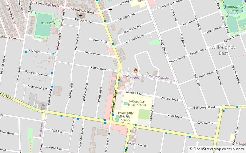
Laurelbank is a heritage-listed former residence and now function centre at 85-87 Penshurst Street, Willoughby, City of Willoughby, New South Wales, Australia. It was built from 1850 to 1884. The property is owned by the Laurelbank Masonic Centre Pty Ltd, a community group. It was added to the New South Wales State Heritage Register on 2 April 1999. ()
Coordinates: 33°48'3"S, 151°11'57"E
Address
WilloughbySydney
ContactAdd
Social media
Add
Day trips
Laurelbank – popular in the area (distance from the attraction)
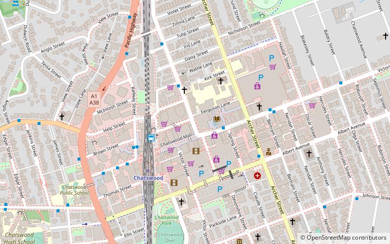
Nearby attractions include: Chatswood Mall, Westfield Chatswood, Chatswood Chase, Chatswood Interchange.
Frequently Asked Questions (FAQ)
How to get to Laurelbank by public transport?
The nearest stations to Laurelbank:
Bus
Train
Metro
Bus
- Windsor Rd (15 min walk)
- Chatswood Transport Interchange (28 min walk)
Train
- Artarmon (25 min walk)
Metro
- Chatswood • Lines: Sydney Metro Northwest (28 min walk)

 Sydney Trains
 Sydney Light Rail
 Sydney Ferries


