Newcastle Reservoirs, Newcastle
Map
Facts and practical information
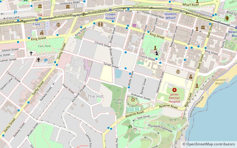
Newcastle Reservoirs are heritage-listed former and disused reservoirs, now used for public tours, at 51 Brown Street, The Hill, City of Newcastle, New South Wales, Australia. They were designed by Cecil West Darley and the NSW Public Works Department and built from 1880 to 1918 by the Public Works Department. It is also known as Newcastle Reservoirs Site, Brown Street Reservoirs, Newcastle Reservoir No.1, Newcastle Pumping Station and Reservoir No.2 Valve House. The property is owned by the Hunter Water Corporation, an agency of the Government of New South Wales. The reservoirs were added to the New South Wales State Heritage Register on 27 April 2018. ()
Coordinates: 32°55'49"S, 151°46'40"E
Address
Newcastle
ContactAdd
Social media
Add
Getting there by public transportation
Public transportation stops near this location
- Bus
- Light rail
- Train
- Ferry
 Bus
Bus
- Calculate routeKing St at Perkins St 6 min walk
- Calculate routeKing st at Wolfe St 6 min walk
- Calculate routeCrown Street 7 min walk
- Calculate routeQueens Wharf 9 min walk
- Calculate routeCivic 11 min walk
- Calculate routeNewcastle Beach 14 min walk
- Calculate routeNewcastle Wharf 10 min walk
- Calculate routeNewcastle Interchange 30 min walk
Day trips


Frequently Asked Questions (FAQ)
Which popular attractions are close to Newcastle Reservoirs?
Nearby attractions include Victoria Theatre, Newcastle (3 min walk), Horbury Hunt Hall, Newcastle (4 min walk), Christ Church Cathedral, Newcastle (5 min walk), Newcastle Art Gallery, Newcastle (8 min walk).
How to get to Newcastle Reservoirs by public transport?
The nearest stations to Newcastle Reservoirs:
Bus
Light rail
Ferry
Train
Bus
- King St at Perkins St • Lines: 11, 13, 14 (6 min walk)
- King st at Wolfe St • Lines: 14 (6 min walk)
Light rail
- Crown Street • Lines: L (7 min walk)
- Queens Wharf • Lines: L (9 min walk)
Ferry
- Newcastle Wharf • Lines: Newcastle - Stockton Ferry (10 min walk)
Train
- Newcastle Interchange (30 min walk)